





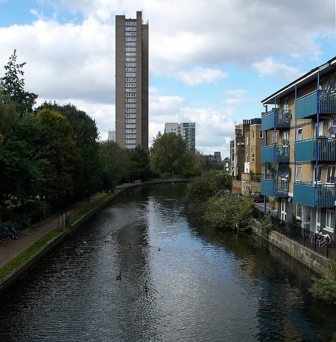
West Drayton Rail Station
- Canal
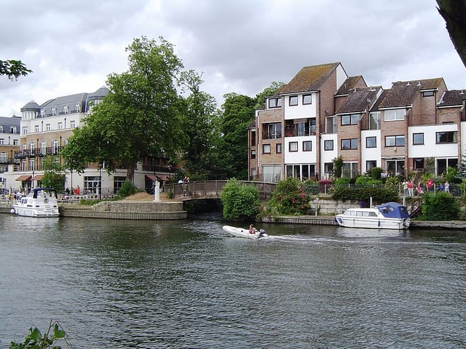
- River
- Lake or reservoir
- Peaks nearby
- 17
- highest 91m
- Walking routes
- 21
- within 10 miles
What's on the doorstep
Walking distances are estimates from the straight-line distance and the type of ground, not a measured route. Check a map before you set off.
About West Drayton Rail Station
West Drayton is a suburban town in the London Borough of Hillingdon. It was an ancient parish in the county of Middlesex and from 1929 was part of the Yiewsley and West Drayton Urban District, which became part of Greater London in 1965. The settlement is near the Colne Valley Regional Park and its centre lies 1.9 miles (3 km) north of Heathrow Airport.
Source: Wikipedia, CC BY-SA.
Hills, trails and walks from the platform
Walking distances are estimates from the straight-line distance and the type of ground, not a measured route. Check a map before you set off.
| The Vale (Heston) | 35m | 4.1 mi (about 5.5 to 6 mi on foot) |
| Windsor Castle | 62m | 6.0 mi (about 8 to 8.5 mi on foot) |
| Horsenden Hill | 85m | 6.8 mi (about 9 to 10 mi on foot) |
| East Burnham Park | 51m | 6.9 mi (about 9 to 10 mi on foot) |
| Harrow on the Hill | 124m | 7.3 mi (about 9.5 to 10.5 mi on foot) |
| Thames Path ↗ | 213.5 mi | 5.1 mi |
Route data © OpenStreetMap contributors, ODbL – coverage and route quality vary by area.
| LOOP link to West Drayton station ↗Regional | 0.1 mi | 0.0 mi |
| London LOOP (Section 11) ↗Regional | 7.3 mi | 0.0 mi |
| Grand Union Canal Walk ↗Regional | 16.3 mi | 0.0 mi |
| Shakespeare's Way ↗Regional | 106.9 mi | 0.0 mi |
| Beeches Way ↗Local | 16.2 mi | 0.1 mi |