






Photo: Own work by en:User:Celiakozlowski, CC BY 3.0, via Wikimedia Commons
The Quantock Hills are a landscape of heather moorland, ancient oak coombes, red deer and sweeping coastal views, with Wills Neck, Lydeard Hill and Dowsborough among the high points. Bishop's Lydeard station is the nearest railhead for hill walking on the Quantock ridge.
There are 0 stations in or within 1 mile of Quantock Hills National Landscape.
The area is home to 7 DoBIH-listed peaks, the highest being Wills Neck at 385m.
Quantock Hills National Landscape train stations
No stations found in or within 1 mile of Quantock Hills National Landscape.
Getting there without a car
No railway station lies within 1 mile of the Quantock Hills National Landscape, so the train only gets you part of the way. These are the nearest stations within 10 miles:
- Bishop's Lydeard1.6 mi (about 2 mi on foot) · heritage or seasonal line, no regular timetable
- Taunton2.6 mi (about 3 to 3.5 mi on foot)
- Bridgwater4.0 mi (about 5 to 5.5 mi on foot)
- Highbridge & Burnham-on-Sea9.0 mi (about 11 to 12 mi on foot)
Walking distances are estimates from the straight-line distance and the type of ground, not a measured route. Check a map before you set off.
Good to know
Can you get to the Quantock Hills National Landscape by train?
Not directly. No station lies within 1 mile of the Quantock Hills National Landscape; the nearest is Taunton, 2.6 miles away (about 3 to 3.5 miles on foot).
More of Quantock Hills National Landscape
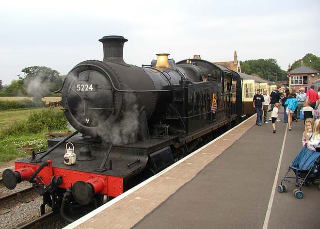
Photo: Arpingstone at English Wikipedia, Public domain, via Wikimedia Commons
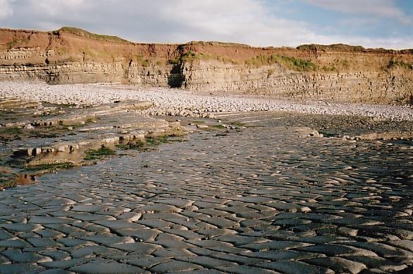
Photo: Tim Cook, CC BY-SA 2.0, via Wikimedia Commons
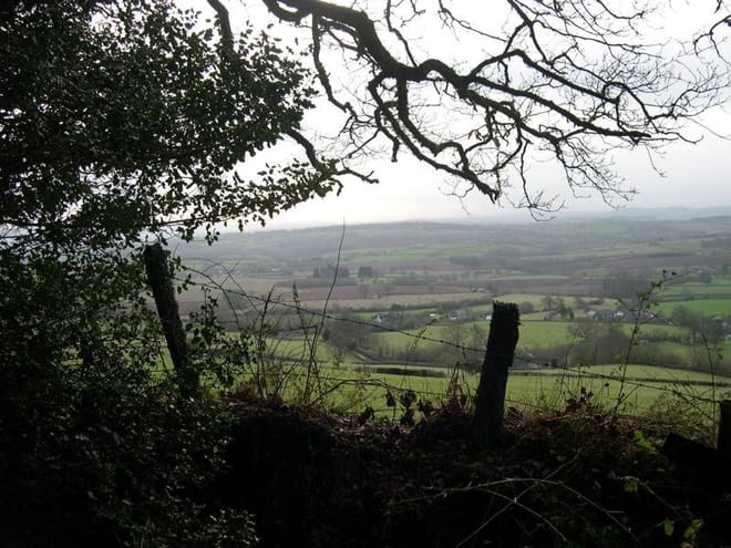
Photo: The original uploader was Celiakozlowski at English Wikipedia., CC BY-SA 3.0, via Wikimedia Commons