





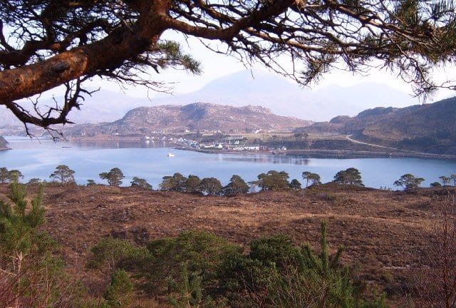
Photo: SIMON PHILLIPS, CC BY-SA 2.0, via Wikimedia Commons
Wester Ross is a north-west Highland landscape of red sandstone mountains, sea lochs, sandy bays and wild coastline, with An Teallach, Liathach and Beinn Eighe towering above Loch Torridon and Loch Maree. Achnashellach and Strathcarron stations on the Kyle Line give train access to the Torridon hills.
There are 0 stations within a mile of Wester Ross National Scenic Area.
The area is home to 480 DoBIH-listed peaks, the highest being An Teallach - Bidein a' Ghlas Thuill at 1063m.
Wester Ross train stations
No stations found within a mile of Wester Ross National Scenic Area.
Getting there without a car
No railway station lies within 1 mile of the Wester Ross National Scenic Area, so the train only gets you part of the way. These are the nearest stations within 10 miles:
- Achnashellach1.1 mi (about 1.5 mi on foot)Gold walking rating
- Strathcarron2.2 mi (about 2.5 to 3 mi on foot)Gold walking rating
- Attadale3.1 mi (about 3.5 to 4 mi on foot)Gold walking rating
- Stromeferry4.0 mi (about 5 to 5.5 mi on foot)
- Achnasheen5.0 mi (about 6 to 7 mi on foot)Gold walking rating
Walking distances are estimates from the straight-line distance and the type of ground, not a measured route. Check a map before you set off.
Good to know
Can you get to the Wester Ross National Scenic Area by train?
Not directly. No station lies within 1 mile of the Wester Ross National Scenic Area; the nearest is Achnashellach, 1.1 miles away (about 1.5 miles on foot).
More of Wester Ross
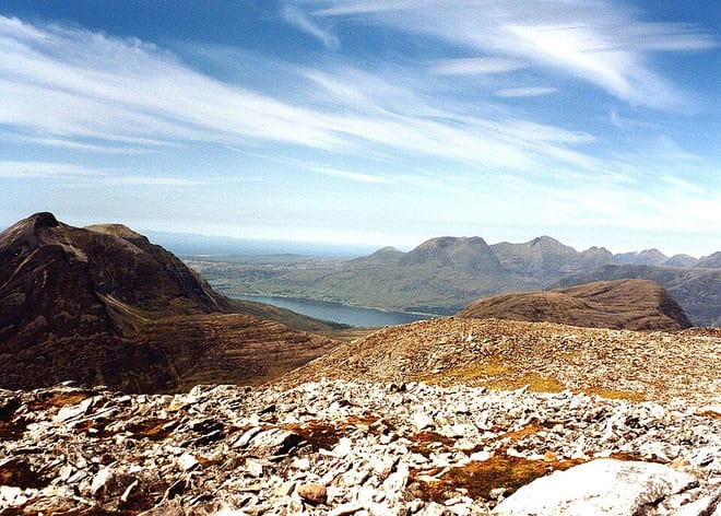
Photo: Mick Knapton, CC BY-SA 3.0, via Wikimedia Commons
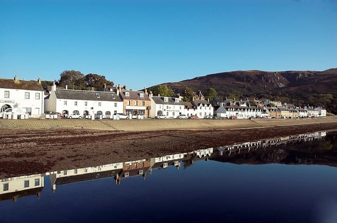
Photo: Paul Hart from Glasgow, Scotland, CC BY-SA 2.0, via Wikimedia Commons
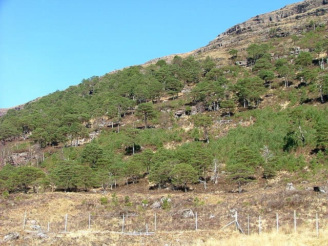
Photo: Dave Fergusson, CC BY-SA 2.0, via Geograph