






Hampton Court Rail Station
- National Trail
- River
- Peaks nearby
- 12
- highest 90m
- Walking routes
- 21
- within 10 miles
What's on the doorstep
Thames PathNational Trail · 0.1 mi (about 0.1 mi on foot)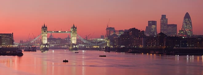 River ThamesRiver · 0.1 mi (about 0.1 mi on foot)
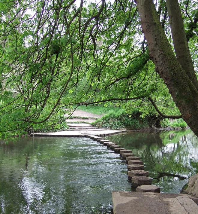 River MoleRiver · 0.1 mi (about 0.1 to 0.2 mi on foot)
Walking distances are estimates from the straight-line distance and the type of ground, not a measured route. Check a map before you set off.
About Hampton Court Rail Station
Hampton Court Palace is a Grade I listed royal palace in the London Borough of Richmond upon Thames, 12 miles southwest and upstream of central London on the River Thames.
Source: Wikipedia, CC BY-SA.
Hills, trails and walks from the platform
Walking distances are estimates from the straight-line distance and the type of ground, not a measured route. Check a map before you set off.
| King Henry VIII Mound | 58m | 3.6 mi (about 4.5 to 5 mi on foot) |
| Telegraph Hill | 90m | 5.1 mi (about 6.5 to 7.5 mi on foot) |
| Lauriston Road (Wimbledon) | 55m | 5.3 mi (about 7 to 7.5 mi on foot) |
| Putney Heath | 60m | 5.4 mi (about 7 to 8 mi on foot) |
| Wimbledon Common | 55m | 5.5 mi (about 7 to 8 mi on foot) |
| Thames Path ↗ | 213.5 mi | 0.0 mi |
Route data © OpenStreetMap contributors, ODbL – coverage and route quality vary by area.
| Thames Path ↗National | 194.7 mi | 0.0 mi |
| London LOOP (Section 9) ↗Regional | 10.2 mi | 0.7 mi |
| Hogsmill Valley Walk ↗Local | 8.3 mi | 1.6 mi |
| London LOOP (Section 8) ↗Regional | 7.7 mi | 1.6 mi |
| Thames Down Link ↗Regional | 16.3 mi | 1.6 mi |