






Barnes Bridge Rail Station
- National Trail
- River
- Peaks nearby
- 28
- highest 92m
- Walking routes
- 21
- within 10 miles
What's on the doorstep
Walking distances are estimates from the straight-line distance and the type of ground, not a measured route. Check a map before you set off.
About Barnes Bridge Rail Station
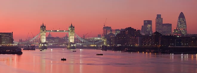
Barnes Railway Bridge is a Grade II listed in the London Borough of Richmond upon Thames and the London Borough of Hounslow. It crosses the River Thames in London in a northwest to southeast direction at Barnes. It carries the South Western Railway's Hounslow Loop Line, and lies between Barnes Bridge and Chiswick stations. It can also be crossed on foot, and is one of only three bridges in London to combine pedestrian and rail use; the others being Hungerford Bridge and Golden Jubilee Bridges and Fulham Railway Bridge.
Hills, trails and walks from the platform
Walking distances are estimates from the straight-line distance and the type of ground, not a measured route. Check a map before you set off.
| Putney Heath | 60m | 2.3 mi (about 3 to 3.5 mi on foot) |
| King Henry VIII Mound | 58m | 2.6 mi (about 3.5 to 4 mi on foot) |
| Wimbledon Common | 55m | 3.0 mi (about 4 to 4.5 mi on foot) |
| Lauriston Road (Wimbledon) | 55m | 3.7 mi (about 5 to 5.5 mi on foot) |
| Hanger Hill | 65m | 4.0 mi (about 5 to 6 mi on foot) |
| Thames Path ↗ | 213.5 mi | 0.0 mi |
Route data © OpenStreetMap contributors, ODbL – coverage and route quality vary by area.
| Barnes Trail ↗Local | 2.2 mi | 0.0 mi |
| Thames Path ↗National | 194.7 mi | 0.0 mi |
| Thames Path - northern bank ↗Regional | 29.5 mi | 0.1 mi |
| Barnes Trail Extension ↗Local | 3.2 mi | 0.1 mi |
| Beverley Brook Walk ↗Local | 6.5 mi | 0.3 mi |