





Ash Vale Rail Station
- Canal
- Special Area of Conservation
- River
- Peaks nearby
- 16
- highest 96m
- Walking routes
- 21
- within 10 miles
What's on the doorstep
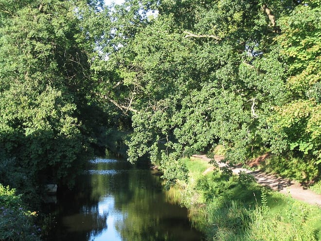
Basingstoke CanalCanal · 0.1 mi (about 0.1 mi on foot)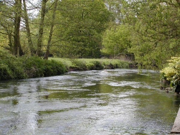 River Blackwater (Hampshire)River · 0.4 mi (about 0.5 mi on foot)
Also nearby
Walking distances are estimates from the straight-line distance and the type of ground, not a measured route. Check a map before you set off.
About Ash Vale Rail Station
Ash Vale is a village in the borough of Guildford in Surrey, England and the larger, northern settlement of the civil parish of Ash. It is 7 miles (11 km) from Guildford but is closer to the Hampshire towns of Aldershot and Farnborough, the centres of which are each about two miles (4 km) away, immediately across the two crossings of the River Blackwater, to the southwest and northwest.
Hills, trails and walks from the platform
Walking distances are estimates from the straight-line distance and the type of ground, not a measured route. Check a map before you set off.
| Romping Downs | 118m | 1.1 mi (about 1.5 mi on foot) |
| Hawley Hill | 103m | 4.1 mi (about 5.5 to 6 mi on foot) |
| Bricksbury Hill | 191m | 4.6 mi (about 6 to 6.5 mi on foot) |
| Crooksbury Hill | 163m | 4.7 mi (about 6 to 7 mi on foot) |
| Hog's Back | 154m | 4.7 mi (about 6 to 7 mi on foot) |
| North Downs Way ↗ | 158.9 mi | 3.6 mi |
Route data © OpenStreetMap contributors, ODbL – coverage and route quality vary by area.
| Basingstoke Canal ↗Regional | 37.0 mi | 0.1 mi |
| Blackwater Valley Path ↗Regional | 24.3 mi | 0.5 mi |
| Wellesley Green Route ↗Local | 0.1 mi | 2.0 mi |
| Cove Brook Greenway, Farnborough ↗Local | 3.1 mi | 2.6 mi |
| The Fox Way ↗Local | 37.5 mi | 2.6 mi |