






Bedwyn Rail Station
- National Landscape
- Canal
- Peaks nearby
- 14
- highest 297m
- Walking routes
- 18
- within 10 miles
What's on the doorstep
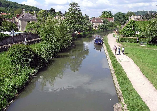
About Bedwyn Rail Station
Great Bedwyn is a village and civil parish in east Wiltshire, England. The village is on the River Dun about 4.5 miles (7.2 km) southwest of Hungerford, 14 miles (23 km) southeast of Swindon and 6 miles (9.7 km) southeast of Marlborough.
Source: Wikipedia, CC BY-SA.
Hills, trails and walks from the platform
Walking distances are estimates from the straight-line distance and the type of ground, not a measured route. Check a map before you set off.
| Carvers Hill | 183m | 1.8 mi (about 2.5 mi on foot) |
| Wexcombe Down | 267m | 4.3 mi (about 5.5 to 6 mi on foot) |
| Haydown Hill | 258m | 5.3 mi (about 7 to 7.5 mi on foot) |
| Easton Hill | 241m | 5.4 mi (about 7 to 8 mi on foot) |
| Walbury HillM | 297m | 6.1 mi (about 8 to 9 mi on foot) |
| The Ridgeway ↗ | 86.3 mi | 7.1 mi |
Route data © OpenStreetMap contributors, ODbL – coverage and route quality vary by area.
| Kennet and Avon Canal Trail ↗Regional | 96.3 mi | 0.0 mi |
| Pewsey Vale Circular Walk ↗Regional | 82.2 mi | 0.1 mi |
| Mid Wilts Way ↗Regional | 41.8 mi | 1.8 mi |
| Test Way ↗Regional | 46.3 mi | 5.1 mi |
| Wayfarers Walk ↗Regional | 71.1 mi | 5.5 mi |