





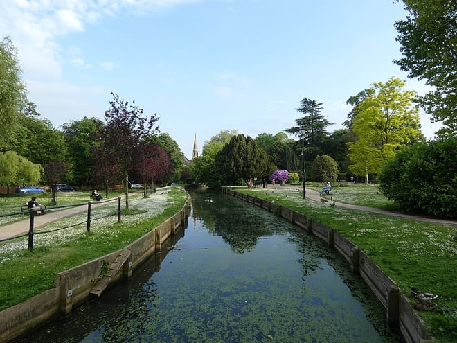
Broxbourne Rail Station
- Canal
- Peaks nearby
- 6
- highest 92m
- Walking routes
- 20
- within 10 miles
What's on the doorstep
Walking distances are estimates from the straight-line distance and the type of ground, not a measured route. Check a map before you set off.
About Broxbourne Rail Station
Broxbourne is a town in the Borough of Broxbourne in Hertfordshire, England, with a population of 15,303 at the 2011 Census. It is located to the south of Hoddesdon and to the north of Cheshunt, 17 miles (27 km) north of London. The town is near the River Lea, which forms the boundary with Essex, and 5 miles (8.0 km) north of the M25 motorway. To the west of the town are Broxbourne Woods, a national nature reserve. The Prime Meridian runs just east of Broxbourne.
Hills, trails and walks from the platform
Walking distances are estimates from the straight-line distance and the type of ground, not a measured route. Check a map before you set off.
| Clayton Hill | 79m | 2.0 mi (about 2.5 to 3 mi on foot) |
| Epping Forest | 117m | 5.7 mi (about 7.5 to 8.5 mi on foot) |
| Pole Hill | 92m | 7.6 mi (about 10 to 11 mi on foot) |
| Burnham Green | 126m | 9.0 mi (about 11.5 to 13 mi on foot) |
| Bournwell Hill (Hadley Wood) | 119m | 9.4 mi (about 12.5 to 13.5 mi on foot) |
No National Trails within 10 miles.
Route data © OpenStreetMap contributors, ODbL – coverage and route quality vary by area.
| Hertfordshire Way ↗Regional | 193.7 mi | 0.0 mi |
| New River Path ↗Regional | 28.8 mi | 0.0 mi |
| Lea Valley Walk ↗Regional | 38.6 mi | 0.3 mi |
| Greenwich Meridian Trail ↗Regional | 246.4 mi | 0.3 mi |
| London to Walsingham - stage 02 ↗Local | 16.7 mi | 0.3 mi |