





Burnley Manchester Road Rail Station
- Canal
- River
- Peaks nearby
- 30
- highest 557m
- Walking routes
- 22
- within 10 miles
What's on the doorstep
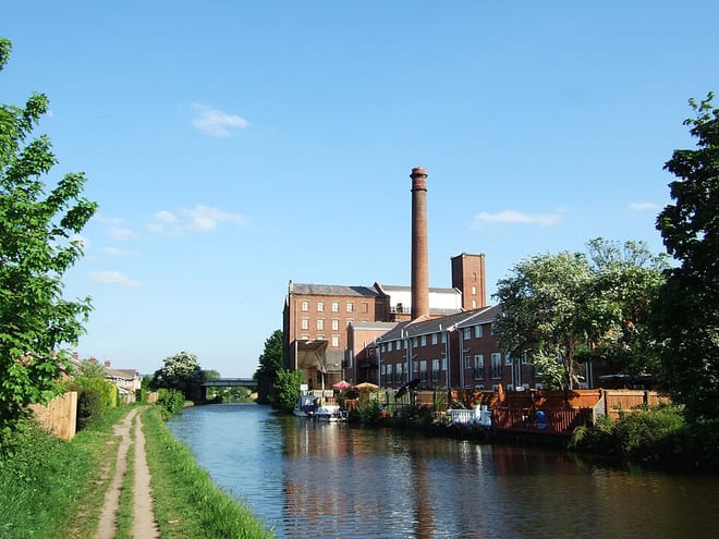
Leeds and Liverpool CanalCanal · 0.1 mi (about 0.2 mi on foot)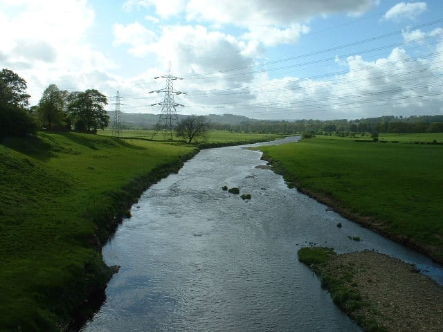 River Calder (Lancashire)River · 0.2 mi (about 0.3 mi on foot)
Walking distances are estimates from the straight-line distance and the type of ground, not a measured route. Check a map before you set off.
About Burnley Manchester Road Rail Station
Burnley Manchester Road is the main railway station in the town of Burnley, Lancashire, England. It is situated on the Calder Valley Line 24+1⁄2 miles (39.4 km) east of Preston, near to the route's junction with the East Lancashire Line.
Source: Wikipedia, CC BY-SA.
Hills, trails and walks from the platform
Walking distances are estimates from the straight-line distance and the type of ground, not a measured route. Check a map before you set off.
| Crown Point | 350m | 1.6 mi (about 2 to 2.5 mi on foot) |
| White Hill | 389m | 2.7 mi (about 3.5 to 4 mi on foot) |
| Marsden Height | 272m | 3.1 mi (about 4 to 4.5 mi on foot) |
| Great Hameldon | 409m | 3.3 mi (about 4.5 to 5 mi on foot) |
| Thieveley Pike | 449m | 3.8 mi (about 5 to 5.5 mi on foot) |
| Pennine Bridleway ↗ | 206.0 mi | 2.7 mi |
| Pennine Way ↗ | 270.6 mi | 6.8 mi |
Route data © OpenStreetMap contributors, ODbL – coverage and route quality vary by area.
| Burnley Way ↗Regional | 40.6 mi | 0.1 mi |
| Bronte Way ↗Regional | 44.1 mi | 0.9 mi |
| Brun Valley Greenway ↗ | 0.7 mi | 1.0 mi |
| Pendle Way ↗Regional | 44.9 mi | 2.0 mi |
| Mary Towneley Loop ↗Regional | 44.9 mi | 2.7 mi |