





Canada Water Rail Station
- River
- Peaks nearby
- 24
- highest 92m
- Walking routes
- 21
- within 10 miles
What's on the doorstep
Walking distances are estimates from the straight-line distance and the type of ground, not a measured route. Check a map before you set off.
About Canada Water Rail Station
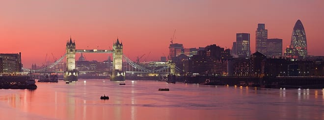
Canada Water is an area of Rotherhithe in the Docklands of south-east London. It is named after a freshwater lake and wildlife refuge. Canada Water tube, Overground and bus station is immediately north of the lake, along with Canada Water Library which overhangs the lake and Deal Porter Square. Surrey Quays Shopping Centre is also adjacent, sitting immediately to the south. The surrounding area, which forms the town centre of Rotherhithe, is now increasingly known as Canada Water, after the transport interchange as much as the lake itself.
Hills, trails and walks from the platform
Walking distances are estimates from the straight-line distance and the type of ground, not a measured route. Check a map before you set off.
| Whitechapel | 15m | 1.4 mi (about 2 mi on foot) |
| Swanfield Street | 18m | 2.1 mi (about 3 mi on foot) |
| Bethnal Green | 17m | 2.5 mi (about 3.5 mi on foot) |
| Chancery Lane/Holborn | 22m | 3.1 mi (about 4 to 4.5 mi on foot) |
| Forest Hill | 106m | 3.7 mi (about 5 to 5.5 mi on foot) |
| Thames Path ↗ | 213.5 mi | 0.3 mi |
Route data © OpenStreetMap contributors, ODbL – coverage and route quality vary by area.
| Thames Path ↗National | 194.7 mi | 0.3 mi |
| Jubilee Greenway (section 7) ↗Regional | 5.9 mi | 0.3 mi |
| Thames Path - northern bank ↗Regional | 29.5 mi | 0.5 mi |
| London to Walsingham - stage 01 ↗Local | 18.2 mi | 0.5 mi |
| Greenwich Meridian Trail ↗Regional | 246.4 mi | 1.0 mi |