





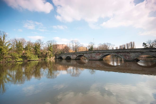
Coleshill Parkway Rail Station
- River
- Canal
- Peaks nearby
- 12
- highest 227m
- Walking routes
- 20
- within 10 miles
What's on the doorstep
River Tame (West Midlands)River · 0.1 mi (about 0.2 mi on foot)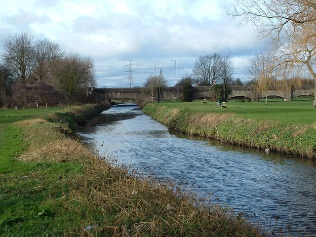 River ColeRiver · 0.3 mi (about 0.4 mi on foot)
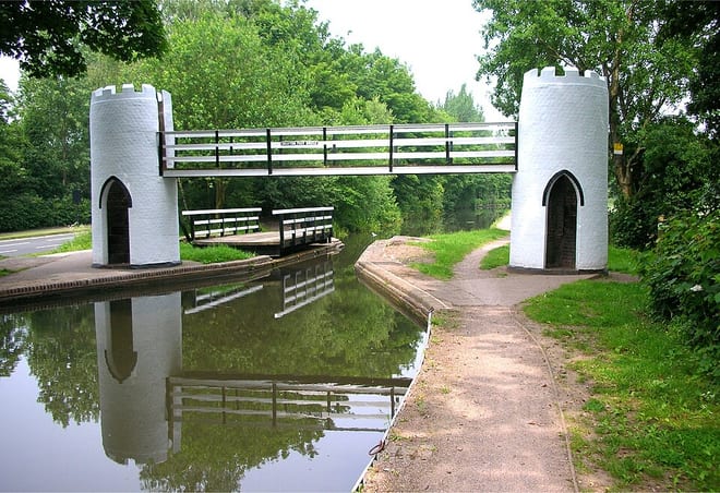 Birmingham and Fazeley CanalCanal · 1.9 mi (about 2.5 mi on foot)
Walking distances are estimates from the straight-line distance and the type of ground, not a measured route. Check a map before you set off.
About Coleshill Parkway Rail Station
Coleshill Parkway is a railway station at Hams Hall on the Birmingham to Peterborough railway line, serving Coleshill in Warwickshire, England. Sitting on the site of the former Coleshill station which closed in 1968, the current station was opened in 2007. Unusually it is not owned by Network Rail. It is managed by West Midlands Trains, although all rail services are operated by CrossCountry.
Hills, trails and walks from the platform
Walking distances are estimates from the straight-line distance and the type of ground, not a measured route. Check a map before you set off.
| Wood End Hill | 185m | 5.6 mi (about 7.5 to 8 mi on foot) |
| Bentley Common | 178m | 6.2 mi (about 8 to 9 mi on foot) |
| Baddesley Colliery | 148m | 6.3 mi (about 8 to 9 mi on foot) |
| Corley Moor | 167m | 6.4 mi (about 8.5 to 9 mi on foot) |
| Oldbury Hill | 188m | 7.1 mi (about 9 to 10 mi on foot) |
No National Trails within 10 miles.
Route data © OpenStreetMap contributors, ODbL – coverage and route quality vary by area.
| The Tame Way - River Route ↗Local | 18.6 mi | 0.7 mi |
| Centenary Way ↗Regional | 99.2 mi | 1.4 mi |
| E2 hiking trail Birmingham ↗National | 81.4 mi | 1.6 mi |
| Heart of England Way ↗Regional | 103.6 mi | 1.6 mi |
| The Tame Way - Canal Route ↗Local | 11.8 mi | 1.9 mi |