





Cookham Rail Station
- River
- Lake or reservoir
- Peaks nearby
- 13
- highest 62m
- Walking routes
- 21
- within 10 miles
What's on the doorstep
River ThamesRiver · 0.7 mi (about 0.8 to 0.9 mi on foot)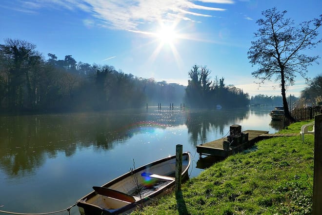 Jubilee RiverRiver · 1.7 mi (about 2 to 2.5 mi on foot)
Also nearby
Walking distances are estimates from the straight-line distance and the type of ground, not a measured route. Check a map before you set off.
About Cookham Rail Station
Cookham is a historic Thames-side village and civil parish on the north-eastern edge of Berkshire, England, 2.9 miles (5 km) north-north-east of Maidenhead and opposite the village of Bourne End. Cookham forms the southernmost and most rural part of the High Wycombe urban area. With adjoining Cookham Rise and Cookham Dean, it had a combined population of 5,779 at the 2011 Census. In 2011, The Daily Telegraph deemed Cookham Britain's second richest village.
Hills, trails and walks from the platform
Walking distances are estimates from the straight-line distance and the type of ground, not a measured route. Check a map before you set off.
| Mount Hill | 110m | 1.2 mi (about 1.5 mi on foot) |
| Fultness Wood Hill | 113m | 1.9 mi (about 2.5 mi on foot) |
| East Burnham Park | 51m | 4.4 mi (about 5.5 to 6.5 mi on foot) |
| Ashley Hill | 145m | 4.6 mi (about 6 to 6.5 mi on foot) |
| Windsor Racecourse Island | 22m | 5.8 mi (about 7.5 to 8.5 mi on foot) |
| Thames Path ↗ | 213.5 mi | 0.6 mi |
Route data © OpenStreetMap contributors, ODbL – coverage and route quality vary by area.
| Cookham Wetland and Wildlife Trial, Maidenhead ↗Local | 2.9 mi | 0.3 mi |
| Cookham and Cock Marsh Walk, Maidenhead ↗Local | 5.2 mi | 0.4 mi |
| The Chiltern Way Berkshire Loop ↗Regional | 30.5 mi | 0.6 mi |
| Thames Path ↗National | 194.7 mi | 0.6 mi |
| European walking route E2 west, UK, South East England ↗International | 136.0 mi | 0.6 mi |