





Carshalton Rail Station
- River
- Peaks nearby
- 22
- highest 90m
- Walking routes
- 22
- within 10 miles
What's on the doorstep
Walking distances are estimates from the straight-line distance and the type of ground, not a measured route. Check a map before you set off.
About Carshalton Rail Station
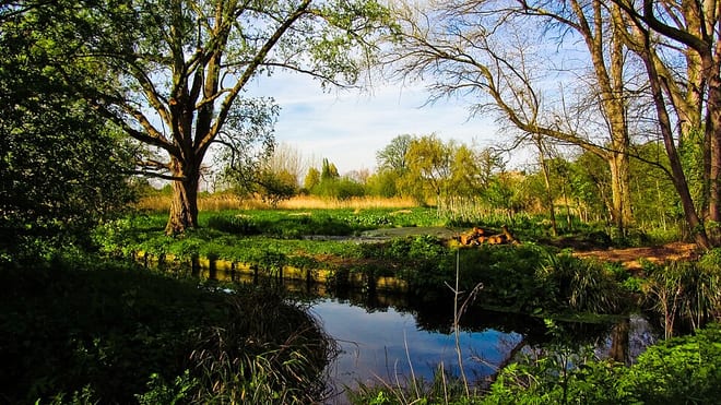
Carshalton is a town, with a historic village centre, in south London, England, within the London Borough of Sutton. It is situated around 9.5 miles (15.3 km) southwest of Charing Cross and around 1.2 miles (1.9 km) east of Sutton town centre, in the valley of the River Wandle, one of the sources of which is Carshalton Ponds in the south of the village. Prior to the creation of Greater London in 1965, Carshalton was in the administrative county of Surrey.
Hills, trails and walks from the platform
Walking distances are estimates from the straight-line distance and the type of ground, not a measured route. Check a map before you set off.
| Clock House | 147m | 3.1 mi (about 4 to 4.5 mi on foot) |
| Lauriston Road (Wimbledon) | 55m | 4.4 mi (about 6 to 6.5 mi on foot) |
| Sanderstead Plantation | 175m | 4.5 mi (about 6 to 6.5 mi on foot) |
| Crystal Palace | 116m | 4.6 mi (about 6 to 6.5 mi on foot) |
| Wimbledon Common | 55m | 5.1 mi (about 6.5 to 7.5 mi on foot) |
| Thames Path ↗ | 213.5 mi | 6.5 mi |
| North Downs Way ↗ | 158.9 mi | 6.8 mi |
Route data © OpenStreetMap contributors, ODbL – coverage and route quality vary by area.
| Wandle Trail ↗Local | 13.2 mi | 0.2 mi |
| Wandle-Oaks Link ↗Local | 2.9 mi | 0.3 mi |
| Sutton Countryside Walk ↗Local | 4.9 mi | 1.6 mi |
| Reigate and Banstead Millennium Trail ↗Regional | 19.1 mi | 2.2 mi |
| London LOOP (Section 6) ↗Regional | 4.7 mi | 2.3 mi |