





Dorchester South Rail Station
- River
- National Landscape
- Heritage Coast
- Peaks nearby
- 30
- highest 96m
- Walking routes
- 18
- within 10 miles
What's on the doorstep
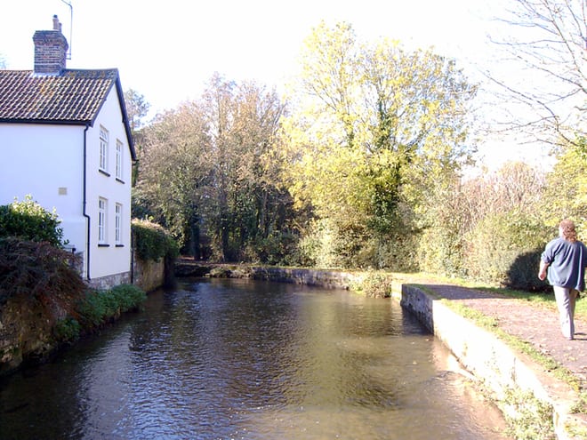
River Frome (Dorset)River · 0.5 mi (about 0.6 to 0.7 mi on foot) Dorset National LandscapeNational Landscape · 0.7 mi (about 0.9 to 1 mi on foot)
 PurbeckHeritage Coast · 3.0 mi (about 4 to 4.5 mi on foot)
Walking distances are estimates from the straight-line distance and the type of ground, not a measured route. Check a map before you set off.
About Dorchester South Rail Station
Dorchester South is one of two railway stations that serve the town of Dorchester in Dorset, England, the other is Dorchester West. The station is on the South West Main Line and is situated 135 miles 70 chains (218.7 km) down the line from London Waterloo, between Moreton and Upwey. The station is managed by South Western Railway, who operate all trains serving it.
Source: Wikipedia, CC BY-SA.
Hills, trails and walks from the platform
Walking distances are estimates from the straight-line distance and the type of ground, not a measured route. Check a map before you set off.
| Maiden Castle | 138m | 2.0 mi (about 2.5 to 3 mi on foot) |
| Bincombe Down | 169m | 2.8 mi (about 3.5 to 4 mi on foot) |
| Chalbury | 118m | 3.8 mi (about 5 to 5.5 mi on foot) |
| Friar Waddon Hill | 132m | 4.3 mi (about 5.5 to 6 mi on foot) |
| The Look Out | 66m | 4.6 mi (about 6 to 6.5 mi on foot) |
| South West Coast Path ↗ | 663.3 mi | 2.7 mi |
Route data © OpenStreetMap contributors, ODbL – coverage and route quality vary by area.
| Frome Valley Way ↗Local | 39.1 mi | 0.4 mi |
| Hardy’s cottage to Max Gate ↗Local | 3.0 mi | 0.8 mi |
| Jubilee Trail (Dorset) ↗Regional | 89.7 mi | 1.4 mi |
| The Hardy Way ↗Regional | 98.0 mi | 2.7 mi |
| South Dorset Ridgeway ↗Regional | 17.0 mi | 2.7 mi |