





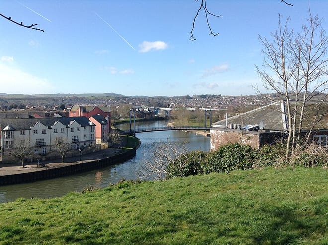
Exeter St Davids Rail Station
- River
- Peaks nearby
- 30
- highest 94m
- Walking routes
- 21
- within 10 miles
What's on the doorstep
Walking distances are estimates from the straight-line distance and the type of ground, not a measured route. Check a map before you set off.
About Exeter St Davids Rail Station
Exeter St Davids railway station is the largest and busiest railway station in Exeter, although it is not as convenient for the city centre as Exeter Central railway station.
Source: Wikipedia, CC BY-SA.
Hills, trails and walks from the platform
Walking distances are estimates from the straight-line distance and the type of ground, not a measured route. Check a map before you set off.
| Whorley Pin Hill | 108m | 1.4 mi (about 2 mi on foot) |
| Stoke Hill | 161m | 2.1 mi (about 2.5 to 3 mi on foot) |
| Bower Wood | 101m | 2.3 mi (about 3 to 3.5 mi on foot) |
| Waddles Down | 249m | 3.0 mi (about 4 to 4.5 mi on foot) |
| Knowle Plantation | 221m | 3.4 mi (about 4.5 to 5 mi on foot) |
| South West Coast Path ↗ | 663.3 mi | 8.2 mi |
Route data © OpenStreetMap contributors, ODbL – coverage and route quality vary by area.
| Exe Valley Way ↗Regional | 52.1 mi | 0.1 mi |
| Two Counties Way ↗Regional | 45.2 mi | 0.1 mi |
| Dunsford to Exeter Way ↗Regional | 10.2 mi | 0.2 mi |
| Exeter Green Circle ↗Local | 13.1 mi | 0.2 mi |
| Pinhoe to Exeter Way ↗Local | 1.4 mi | 0.3 mi |