





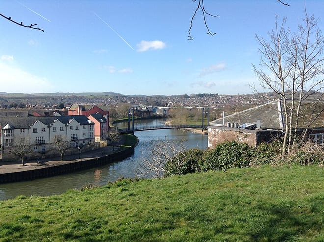
Exeter St Thomas Rail Station
- River
- Peaks nearby
- 30
- highest 94m
- Walking routes
- 21
- within 10 miles
What's on the doorstep
Walking distances are estimates from the straight-line distance and the type of ground, not a measured route. Check a map before you set off.
About Exeter St Thomas Rail Station
Exeter St Thomas railway station is a suburban railway station in Exeter, England, serving the suburb of St Thomas and the riverside area. The station is elevated on a low viaduct with entrances on Cowick Street and is the only station in Exeter which is listed. It is 74 chains south of Exeter St Davids railway station and 194 miles 66 chains from the zero point at London Paddington, via Box Tunnel.
Hills, trails and walks from the platform
Walking distances are estimates from the straight-line distance and the type of ground, not a measured route. Check a map before you set off.
| Whorley Pin Hill | 108m | 1.5 mi (about 2 mi on foot) |
| Stoke Hill | 161m | 2.6 mi (about 3.5 mi on foot) |
| Pearce's Hill | 84m | 2.6 mi (about 3.5 to 4 mi on foot) |
| Knowle Plantation | 221m | 3.1 mi (about 4 to 4.5 mi on foot) |
| Bower Wood | 101m | 3.2 mi (about 4 to 4.5 mi on foot) |
| South West Coast Path ↗ | 663.3 mi | 7.4 mi |
Route data © OpenStreetMap contributors, ODbL – coverage and route quality vary by area.
| Two Counties Way ↗Regional | 45.2 mi | 0.1 mi |
| Exe Valley Way ↗Regional | 52.1 mi | 0.1 mi |
| Exeter Woollen Trail ↗Local | 1.2 mi | 0.2 mi |
| Tommy Cooper Trail ↗Local | 2.7 mi | 0.2 mi |
| Exeter City Wall Trail ↗ | 1.7 mi | 0.2 mi |