






Grindleford Rail Station
- National Park
- Special Area of Conservation
- River
- Peaks nearby
- 30
- highest 463m
- Walking routes
- 22
- within 10 miles
What's on the doorstep
Peak DistrictNational Park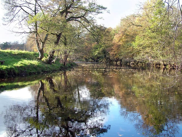 River Derwent (Derbyshire)River · 0.5 mi (about 0.6 to 0.7 mi on foot)
Also nearby
Walking distances are estimates from the straight-line distance and the type of ground, not a measured route. Check a map before you set off.
About Grindleford Rail Station
Grindleford is a village and civil parish in the county of Derbyshire, in the East Midlands of England. The population of the civil parish as taken at the 2011 Census was 909. It lies at an altitude of 492 feet (150 m) in the valley of the River Derwent in the Peak District National Park. The 17th-century Grindleford Bridge crosses the river on the western side of the village.
Hills, trails and walks from the platform
Walking distances are estimates from the straight-line distance and the type of ground, not a measured route. Check a map before you set off.
| High Low | 281m | 2.0 mi (about 2.5 to 3 mi on foot) |
| Higger TorE | 435m | 2.0 mi (about 2.5 to 3 mi on foot) |
| Sir William HillE | 429m | 2.2 mi (about 3 mi on foot) |
| Hare Knoll | 185m | 2.4 mi (about 3 to 3.5 mi on foot) |
| White Path MossE | 457m | 2.6 mi (about 3.5 to 4 mi on foot) |
| Pennine Bridleway ↗ | 206.0 mi | 7.3 mi |
| Pennine Way ↗ | 270.6 mi | 9.1 mi |
Route data © OpenStreetMap contributors, ODbL – coverage and route quality vary by area.
| Views and Woodlands Walk at Longshaw, Longshaw Estate ↗Local | 5.8 mi | 0.0 mi |
| Longshaw Woodland Explorer Walk, Longshaw Estate ↗Local | 2.9 mi | 0.3 mi |
| Derwent Valley Heritage Way ↗Regional | 51.9 mi | 0.5 mi |
| Blue Route, Longshaw Estate ↗Local | 3.1 mi | 0.6 mi |
| Orange Route, Longshaw Estate ↗Local | 2.1 mi | 0.6 mi |