






Hathersage Rail Station
- National Park
- River
- Special Area of Conservation
- Lake or reservoir
- Peaks nearby
- 30
- highest 538m
- Walking routes
- 22
- within 10 miles
What's on the doorstep
Peak DistrictNational Park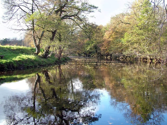 River Derwent (Derbyshire)River · 0.3 mi (about 0.3 mi on foot)
Also nearby
Walking distances are estimates from the straight-line distance and the type of ground, not a measured route. Check a map before you set off.
About Hathersage Rail Station
Hathersage is a village and civil parish in the Peak District in Derbyshire, England. It lies slightly to the north of the River Derwent, approximately 10 miles (16.1 km) south-west of Sheffield.
Source: Wikipedia, CC BY-SA.
Hills, trails and walks from the platform
Walking distances are estimates from the straight-line distance and the type of ground, not a measured route. Check a map before you set off.
| High Low | 281m | 0.9 mi (about 1 to 1.5 mi on foot) |
| Higger TorE | 435m | 1.6 mi (about 2 to 2.5 mi on foot) |
| White Path MossE | 457m | 1.7 mi (about 2 to 2.5 mi on foot) |
| Abney Low | 347m | 2.1 mi (about 3 mi on foot) |
| Sir William HillE | 429m | 2.2 mi (about 3 to 3.5 mi on foot) |
| Pennine Bridleway ↗ | 206.0 mi | 6.7 mi |
| Pennine Way ↗ | 270.6 mi | 7.5 mi |
Route data © OpenStreetMap contributors, ODbL – coverage and route quality vary by area.
| Derwent Valley Heritage Way ↗Regional | 51.9 mi | 0.2 mi |
| Longshaw Woodland Explorer Walk, Longshaw Estate ↗Local | 2.9 mi | 1.2 mi |
| Views and Woodlands Walk at Longshaw, Longshaw Estate ↗Local | 5.8 mi | 1.6 mi |
| Padley Gorge and Burbage Brook Walk, Longshaw Estate ↗Local | 2.1 mi | 1.6 mi |
| Sheffield Country Walk ↗Regional | 55.2 mi | 1.6 mi |