





Huddersfield Rail Station
- Canal
- Peaks nearby
- 30
- highest 74m
- Walking routes
- 22
- within 10 miles
What's on the doorstep
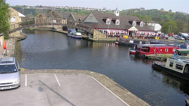
Huddersfield Broad CanalCanal · 0.4 mi (about 0.4 to 0.5 mi on foot)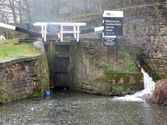 Huddersfield Narrow CanalCanal · 0.5 mi (about 0.6 mi on foot)
Walking distances are estimates from the straight-line distance and the type of ground, not a measured route. Check a map before you set off.
About Huddersfield Rail Station
Huddersfield is a town in the Metropolitan Borough of Kirklees, West Yorkshire, England. It is the administrative centre and largest settlement in the Kirklees district, in the foothills of the Pennines. The River Holme's confluence into the similar-sized Colne is to the south of the town centre, which then flows into the Calder in the north-eastern outskirts of the town.
Source: Wikipedia, CC BY-SA.
Hills, trails and walks from the platform
Walking distances are estimates from the straight-line distance and the type of ground, not a measured route. Check a map before you set off.
| Dalton Fold | 129m | 0.8 mi (about 1 mi on foot) |
| Castle Hill | 272m | 1.9 mi (about 2.5 mi on foot) |
| Round Wood Hill | 103m | 1.9 mi (about 2.5 mi on foot) |
| Fixby Ridge | 265m | 2.2 mi (about 3 mi on foot) |
| Old Lindley Moor | 288m | 3.4 mi (about 4.5 to 5 mi on foot) |
| Pennine Way ↗ | 270.6 mi | 7.1 mi |
| Pennine Bridleway ↗ | 206.0 mi | 9.1 mi |
Route data © OpenStreetMap contributors, ODbL – coverage and route quality vary by area.
| Riverside Way ↗Local | 3.3 mi | 0.6 mi |
| Kirklees Way ↗Regional | 76.1 mi | 1.2 mi |
| Hey Green Circular Trail ↗ | 0.5 mi | 1.3 mi |
| Holme Valley Circular Walk ↗Local | 23.0 mi | 1.9 mi |
| Holme Valley Riverside Way ↗Local | 0.8 mi | 2.1 mi |