





Hertford North Rail Station
- River
- Canal
- Peaks nearby
- 2
- highest 79m
- Walking routes
- 20
- within 10 miles
What's on the doorstep
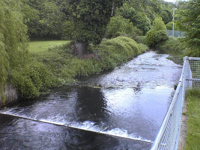
River BeaneRiver · 0.1 mi (about 0.1 mi on foot)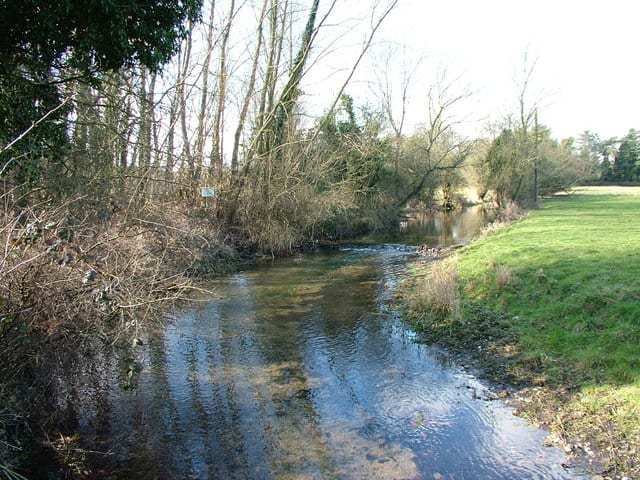 River MimramRiver · 0.4 mi (about 0.5 mi on foot)
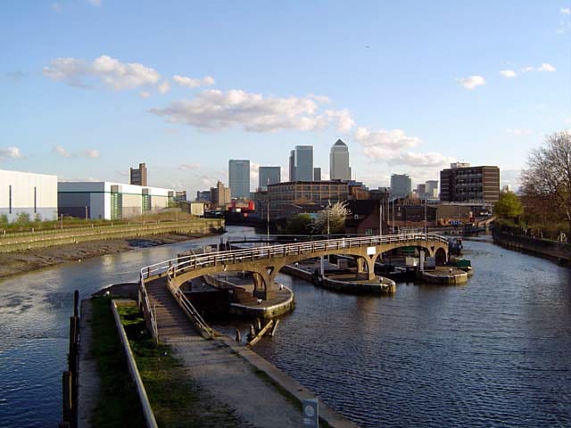 River Lee NavigationCanal · 0.6 mi (about 0.7 mi on foot)
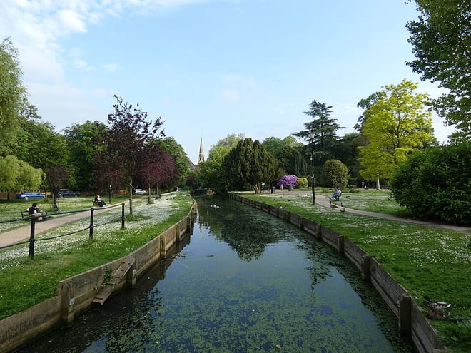 New RiverCanal · 1.5 mi (about 2 mi on foot)
Walking distances are estimates from the straight-line distance and the type of ground, not a measured route. Check a map before you set off.
About Hertford North Rail Station
Hertford North railway station is one of two stations serving the town of Hertford in Hertfordshire, England, the other being Hertford East railway station.
Source: Wikipedia, CC BY-SA.
Hills, trails and walks from the platform
Walking distances are estimates from the straight-line distance and the type of ground, not a measured route. Check a map before you set off.
| Burnham Green | 126m | 4.0 mi (about 5 to 6 mi on foot) |
| Clayton Hill | 79m | 6.9 mi (about 9 to 10 mi on foot) |
No National Trails within 10 miles.
Route data © OpenStreetMap contributors, ODbL – coverage and route quality vary by area.
| Hertfordshire Way ↗Regional | 193.7 mi | 0.2 mi |
| Lea Valley Walk ↗Regional | 38.6 mi | 0.5 mi |
| Hertfordshire Chain Walk - Walk 5 ↗Regional | 6.4 mi | 0.6 mi |
| Beyond Hartham Common ↗Local | 8.5 mi | 0.9 mi |
| New River Path ↗Regional | 28.8 mi | 1.5 mi |