






Holton Heath Rail Station
- Special Area of Conservation
- Heritage Coast
- National Landscape
- National Nature Reserve
- River
- Disused railway
- Peaks nearby
- 29
- highest 92m
- Walking routes
- 21
- within 10 miles
What's on the doorstep
PurbeckHeritage Coast Dorset National LandscapeNational Landscape
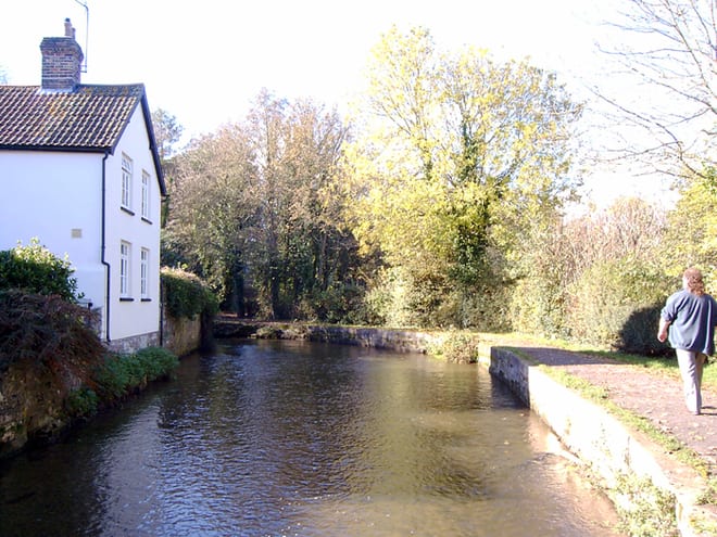 River Frome (Dorset)River · 1.4 mi (about 1.5 to 2 mi on foot)
Also nearby
- Dorset Heaths
Special Area of Conservation
- Holton Heath
National Nature Reserve
- Dorset Heaths (Purbeck and Wareham) and Studland Dunes
Special Area of Conservation
0.3 mi (about 0.4 mi on foot)
Walking distances are estimates from the straight-line distance and the type of ground, not a measured route. Check a map before you set off.
About Holton Heath Rail Station
Holton Heath is an area of the parish of Wareham St Martin, Dorset, England. The area includes a trading estate, on the site of the former Royal Navy Cordite Factory, Holton Heath, (RNCF). East of the trading estate is the Holton Heath National Nature Reserve, currently closed to the public.
Hills, trails and walks from the platform
Walking distances are estimates from the straight-line distance and the type of ground, not a measured route. Check a map before you set off.
| Gore Heath | 48m | 1.8 mi (about 2.5 mi on foot) |
| Arne Hill | 53m | 1.9 mi (about 2.5 to 3 mi on foot) |
| Round Island | 14m | 3.1 mi (about 4 to 4.5 mi on foot) |
| Trigon Hill | 54m | 3.4 mi (about 4.5 to 5 mi on foot) |
| Woolsbarrow | 67m | 3.6 mi (about 4.5 to 5 mi on foot) |
| South West Coast Path ↗ | 663.3 mi | 6.0 mi |
Route data © OpenStreetMap contributors, ODbL – coverage and route quality vary by area.
| Cordite Way ↗ | 0.6 mi | 0.7 mi |
| Poole Harbour Trails 4 ↗Local | 7.3 mi | 1.0 mi |
| Poole Harbour Trails 5b ↗Local | 8.2 mi | 1.0 mi |
| The Hardy Way ↗Regional | 98.0 mi | 1.8 mi |
| Frome Valley Way ↗Local | 39.1 mi | 2.0 mi |