





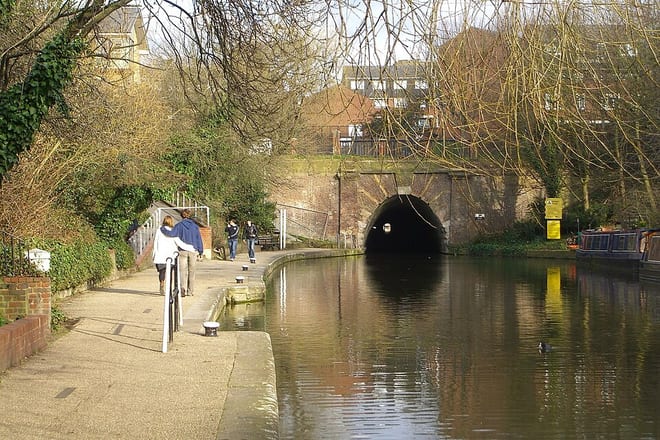
London Kings Cross Rail Station
- Canal
- Peaks nearby
- 30
- highest 92m
- Walking routes
- 21
- within 10 miles
What's on the doorstep
Walking distances are estimates from the straight-line distance and the type of ground, not a measured route. Check a map before you set off.
About London Kings Cross Rail Station
King's Cross railway station, also known as London King's Cross, is a passenger railway terminus in the London Borough of Camden, on the edge of Central London. It is one of the busiest stations in the United Kingdom and the southern terminus of the East Coast Main Line to Yorkshire and the Humber, North East England and Scotland. Adjacent to King's Cross station is St Pancras International, the London terminus for Eurostar services to continental Europe as well as other national lines. Beneath both main line stations is King's Cross St Pancras tube station on the London Underground; combined, they form one of the country's largest and busiest transport hubs.
Hills, trails and walks from the platform
Walking distances are estimates from the straight-line distance and the type of ground, not a measured route. Check a map before you set off.
| Chancery Lane/Holborn | 22m | 1.0 mi (about 1.5 mi on foot) |
| Swanfield Street | 18m | 2.2 mi (about 3 mi on foot) |
| St John's Wood Park | 52m | 2.3 mi (about 3 to 3.5 mi on foot) |
| Whitechapel | 15m | 2.7 mi (about 3.5 to 4 mi on foot) |
| Highgate Hill | 100m | 2.8 mi (about 3.5 to 4 mi on foot) |
| Thames Path ↗ | 213.5 mi | 1.4 mi |
Route data © OpenStreetMap contributors, ODbL – coverage and route quality vary by area.
| Jubilee Walkway (Camden Loop) ↗Regional | 4.1 mi | 0.1 mi |
| Jubilee Greenway (section 3) ↗Regional | 4.7 mi | 0.3 mi |
| Green Link Walk (Section 3) ↗Regional | 2.3 mi | 0.5 mi |
| New River Path ↗Regional | 28.8 mi | 0.6 mi |
| Green Link Walk (Section 2) ↗Regional | 4.9 mi | 0.9 mi |