





Kings Norton Rail Station
- Canal
- Lake or reservoir
- Peaks nearby
- 20
- highest 316m
- Walking routes
- 20
- within 10 miles
What's on the doorstep
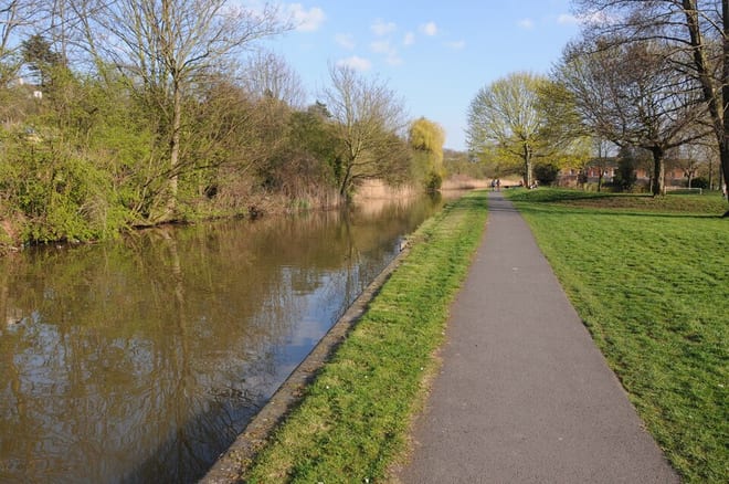
Worcester and Birmingham CanalCanal · 0.4 mi (about 0.5 to 0.6 mi on foot)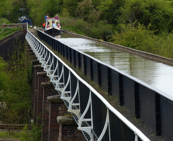 Stratford-upon-Avon CanalCanal · 0.4 mi (about 0.5 to 0.6 mi on foot)
Also nearby
Walking distances are estimates from the straight-line distance and the type of ground, not a measured route. Check a map before you set off.
About Kings Norton Rail Station
Kings Norton, alternatively King's Norton, is an area of Birmingham, in the county of the West Midlands, England. Historically in Worcestershire, it was also a Birmingham City Council ward within the borough of Birmingham. The district lies 6.5 miles (10.5 km) south-southwest of Birmingham city centre and is within 1.5 miles (2.4 km) of the north Worcestershire border. Kings Norton has been split into two wards, Kings Norton North and Kings Norton South.
Hills, trails and walks from the platform
Walking distances are estimates from the straight-line distance and the type of ground, not a measured route. Check a map before you set off.
| High Hill | 208m | 2.0 mi (about 2.5 to 3 mi on foot) |
| Frankley Beeches | 256m | 3.4 mi (about 4.5 to 5 mi on foot) |
| Moorgreen Hill | 177m | 3.6 mi (about 4.5 to 5 mi on foot) |
| Rednal Hill North Top | 250m | 3.7 mi (about 5 to 5.5 mi on foot) |
| Rednal Hill | 268m | 3.8 mi (about 5 to 5.5 mi on foot) |
No National Trails within 10 miles.
Route data © OpenStreetMap contributors, ODbL – coverage and route quality vary by area.
| Bournville Heritage Walk ↗Local | 1.2 mi | 0.8 mi |
| Selly Oak Park Nature Trail ↗Local | 0.7 mi | 1.9 mi |
| North Worcestershire Path ↗Regional | 36.0 mi | 2.0 mi |
| Bourn Brook Walkway ↗Local | 3.5 mi | 2.3 mi |
| Birmingham Platinum Jubilee Walkway ↗Local | 10.4 mi | 2.3 mi |