





Leeds Rail Station
- River
- Canal
- Lake or reservoir
- Peaks nearby
- 12
- highest 74m
- Walking routes
- 20
- within 10 miles
What's on the doorstep
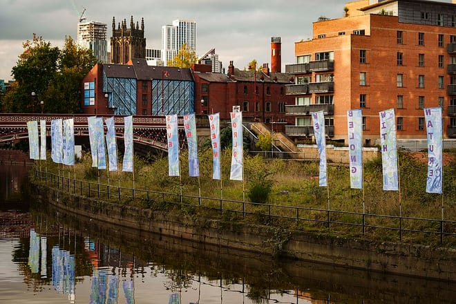
River AireRiver · 0.1 mi (about 0.1 mi on foot)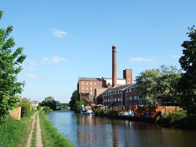 Leeds and Liverpool CanalCanal · 0.2 mi (about 0.2 to 0.3 mi on foot)
Also nearby
Walking distances are estimates from the straight-line distance and the type of ground, not a measured route. Check a map before you set off.
About Leeds Rail Station
Leeds is a city in West Yorkshire, England. It is the largest settlement in Yorkshire and the administrative centre of the City of Leeds Metropolitan Borough, which is the second most populous district in the United Kingdom. It is built around the River Aire and is in the eastern foothills of the Pennines. The city was a small manorial borough in the 13th century and a market town in the 16th century. Leeds expanded in the 17th and 18th centuries by becoming a major production and trading centre. It was awarded a city charter in 1893 by Queen Victoria.
Hills, trails and walks from the platform
Walking distances are estimates from the straight-line distance and the type of ground, not a measured route. Check a map before you set off.
| Beecroft Hill | 152m | 4.0 mi (about 5 to 5.5 mi on foot) |
| Tinshill Moor | 198m | 4.9 mi (about 6.5 to 7 mi on foot) |
| Owlcotes Hill | 194m | 5.5 mi (about 7 to 8 mi on foot) |
| Billing Hill | 233m | 6.5 mi (about 8.5 to 9.5 mi on foot) |
| Westgate Hill | 225m | 6.5 mi (about 8.5 to 9.5 mi on foot) |
No National Trails within 10 miles.
Route data © OpenStreetMap contributors, ODbL – coverage and route quality vary by area.
| Trans-Pennine Trail (Wombwell to Leeds) ↗Regional | 30.0 mi | 0.0 mi |
| Airedale Way ↗Regional | 47.7 mi | 0.0 mi |
| Dales Way Link ↗Regional | 20.9 mi | 1.2 mi |
| Leeds Country Way ↗Local | 62.6 mi | 3.9 mi |
| Wakefield Way ↗Regional | 77.1 mi | 5.0 mi |