





Leatherhead Rail Station
- River
- National Landscape
- Peaks nearby
- 16
- highest 90m
- Walking routes
- 22
- within 10 miles
What's on the doorstep
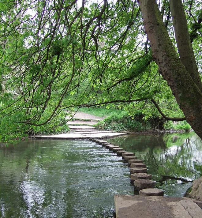
River MoleRiver · 0.3 mi (about 0.3 to 0.4 mi on foot) Surrey Hills National LandscapeNational Landscape · 0.7 mi (about 0.8 to 0.9 mi on foot)
Walking distances are estimates from the straight-line distance and the type of ground, not a measured route. Check a map before you set off.
About Leatherhead Rail Station
Leatherhead is a town in the Mole Valley district of Surrey, England, about 17 mi (27 km) south of Central London. The settlement grew up beside a ford on the River Mole, from which its name is thought to derive. During the late Anglo-Saxon period, Leatherhead was a royal vill and is first mentioned in the will of Alfred the Great in 880 AD. The first bridge across the Mole may have been constructed in around 1200 and this may have coincided with the expansion of the town and the enlargement of the parish church.
Hills, trails and walks from the platform
Walking distances are estimates from the straight-line distance and the type of ground, not a measured route. Check a map before you set off.
| Telegraph Hill | 90m | 2.2 mi (about 3 mi on foot) |
| Box Hill | 224m | 4.1 mi (about 5.5 to 6 mi on foot) |
| The Terrace | 136m | 4.9 mi (about 6.5 to 7 mi on foot) |
| Tower Hill | 142m | 5.2 mi (about 6.5 to 7.5 mi on foot) |
| Bury Hill | 127m | 5.2 mi (about 7 to 7.5 mi on foot) |
| North Downs Way ↗ | 158.9 mi | 3.2 mi |
| Thames Path ↗ | 213.5 mi | 6.5 mi |
Route data © OpenStreetMap contributors, ODbL – coverage and route quality vary by area.
| Mole Gap Trail ↗Local | 6.0 mi | 0.0 mi |
| Norbury Park walk (SCC) ↗Local | 2.2 mi | 1.1 mi |
| Norbury Park Off Road Cycle & Walk (SCC) ↗Local | 2.5 mi | 1.4 mi |
| Thames Down Link ↗Regional | 16.3 mi | 1.6 mi |
| Bookham Common Butterfly Walk, North Downs West ↗Local | 2.9 mi | 1.8 mi |