






Long Preston Rail Station
- National Park
- National Trail
- River
- Peaks nearby
- 30
- highest 553m
- Walking routes
- 22
- within 10 miles
What's on the doorstep
Yorkshire DalesNational Park Pennine BridlewayNational Trail · 0.2 mi (about 0.2 mi on foot)
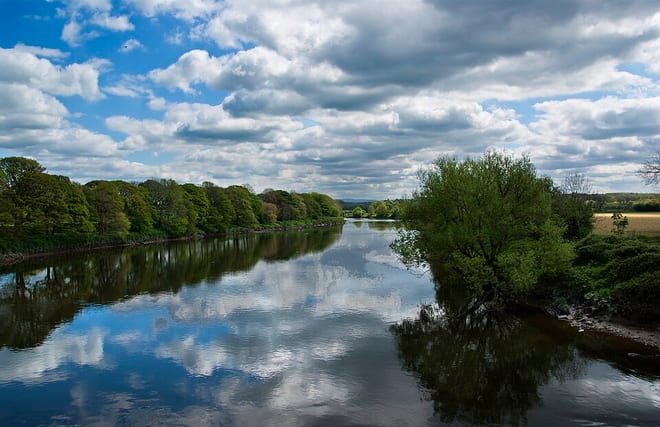 River RibbleRiver · 0.6 mi (about 0.8 mi on foot)
Walking distances are estimates from the straight-line distance and the type of ground, not a measured route. Check a map before you set off.
About Long Preston Rail Station
Long Preston is a village and civil parish in the county of North Yorkshire, England, in the Yorkshire Dales. It lies along the A65 road, and is 12 miles (19 km) from Skipton and 4 miles (6 km) from Settle. The population of Long Preston in 2001 was 680, increasing to 742 at the 2011 Census.
Source: Wikipedia, CC BY-SA.
Hills, trails and walks from the platform
Walking distances are estimates from the straight-line distance and the type of ground, not a measured route. Check a map before you set off.
| Newton Moor Top | 291m | 1.6 mi (about 2 to 2.5 mi on foot) |
| Hellifield Haw | 217m | 1.7 mi (about 2 to 2.5 mi on foot) |
| Hunter Bark | 319m | 2.1 mi (about 2.5 to 3 mi on foot) |
| Waspber Hill | 192m | 2.2 mi (about 3 to 3.5 mi on foot) |
| Lingber Hill | 201m | 2.4 mi (about 3 to 3.5 mi on foot) |
| Pennine Bridleway ↗ | 206.0 mi | 0.2 mi |
| Pennine Way ↗ | 270.6 mi | 4.4 mi |
Route data © OpenStreetMap contributors, ODbL – coverage and route quality vary by area.
| Ribble Way ↗Regional | 70.0 mi | 0.7 mi |
| Settle Loop ↗Regional | 10.1 mi | 2.8 mi |
| Dales High Way ↗Regional | 101.4 mi | 3.7 mi |
| The Ribble Valley Jubilee Trail ↗Regional | 63.1 mi | 4.2 mi |
| Airedale Way ↗Regional | 47.7 mi | 4.4 mi |