





Lympstone Commando Rail Station
- River
- Canal
- Peaks nearby
- 30
- highest 94m
- Walking routes
- 21
- within 10 miles
What's on the doorstep
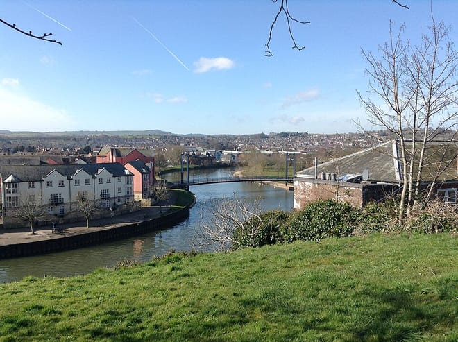
River ExeRiver · 0.5 mi (about 0.6 to 0.7 mi on foot)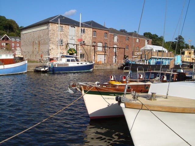 Exeter Ship CanalCanal · 1.2 mi (about 1.5 mi on foot)
Walking distances are estimates from the straight-line distance and the type of ground, not a measured route. Check a map before you set off.
About Lympstone Commando Rail Station
Lympstone Commando railway station serves the Commando Training Centre Royal Marines on the Avocet Line between Exton and Lympstone Village, in Devon, England. The station is 6 miles 23 chains (10.1 km) from Exmouth Junction, around 0.5 miles (0.80 km) from St James' Park.
Source: Wikipedia, CC BY-SA.
Hills, trails and walks from the platform
Walking distances are estimates from the straight-line distance and the type of ground, not a measured route. Check a map before you set off.
| Powderham Park | 67m | 1.6 mi (about 2 to 2.5 mi on foot) |
| Warboro Hill | 94m | 2.5 mi (about 3.5 mi on foot) |
| Black Hill | 170m | 2.8 mi (about 3.5 to 4 mi on foot) |
| Easter Hill | 56m | 3.1 mi (about 4 to 4.5 mi on foot) |
| Woodbury Common | 184m | 3.3 mi (about 4.5 mi on foot) |
| South West Coast Path ↗ | 663.3 mi | 2.4 mi |
Route data © OpenStreetMap contributors, ODbL – coverage and route quality vary by area.
| Two Counties Way ↗Regional | 45.2 mi | 0.8 mi |
| Exminster to Kenton ↗ | 7.9 mi | 0.8 mi |
| Exe Valley Way ↗Regional | 52.1 mi | 0.8 mi |
| Orange Way ↗Regional | 94.2 mi | 1.2 mi |
| East Devon Way ↗Regional | 38.6 mi | 1.4 mi |