





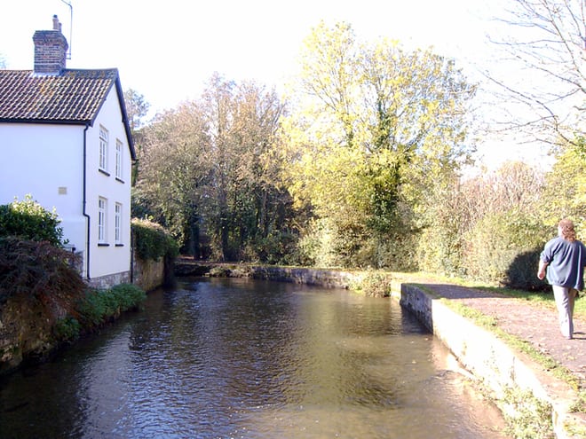
Moreton (Dorset) Rail Station
- River
- Heritage Coast
- Peaks nearby
- 30
- highest 88m
- Walking routes
- 18
- within 10 miles
What's on the doorstep
River Frome (Dorset)River · 1.2 mi (about 1.5 mi on foot) PurbeckHeritage Coast · 2.5 mi (about 3 to 3.5 mi on foot)
Walking distances are estimates from the straight-line distance and the type of ground, not a measured route. Check a map before you set off.
About Moreton (Dorset) Rail Station
Moreton is a village and civil parish in Dorset, England, situated on the River Frome about 8 miles (13 km) east of Dorchester. In the 2011 census the civil parish had 158 households and a population of 373. It has a number of long distance footpaths and cycle ways passing through it: the Purbeck cycle way, Route 2 (Sustrans), the Frome valley trail, the Jubilee trail, and the Hardy Way. The railway station is a little way out of the village, towards Crossways.
Hills, trails and walks from the platform
Walking distances are estimates from the straight-line distance and the type of ground, not a measured route. Check a map before you set off.
| Blacknoll Hill | 62m | 2.4 mi (about 3 to 3.5 mi on foot) |
| Tonerspuddle Heath | 88m | 3.3 mi (about 4.5 to 5 mi on foot) |
| Owermoigne Down | 141m | 3.5 mi (about 4.5 to 5 mi on foot) |
| High Chaldon | 143m | 3.6 mi (about 4.5 to 5.5 mi on foot) |
| Warren Hill | 118m | 4.4 mi (about 5.5 to 6.5 mi on foot) |
| South West Coast Path ↗ | 663.3 mi | 4.7 mi |
Route data © OpenStreetMap contributors, ODbL – coverage and route quality vary by area.
| Jubilee Trail (Dorset) ↗Regional | 89.7 mi | 0.6 mi |
| Frome Valley Way ↗Local | 39.1 mi | 1.3 mi |
| The Hardy Way ↗Regional | 98.0 mi | 2.0 mi |
| Purbeck Way ↗Regional | 31.8 mi | 3.2 mi |
| Lulworth Walk 4 ↗ | 3.7 mi | 3.7 mi |