





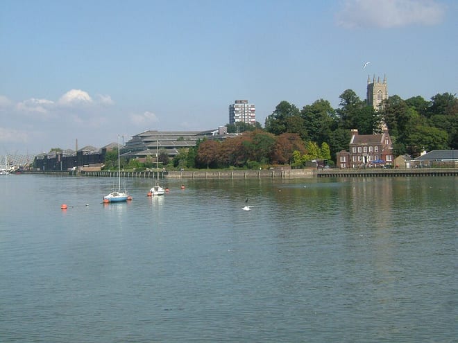
Maidstone West Rail Station
- River
- Peaks nearby
- 9
- highest 98m
- Walking routes
- 21
- within 10 miles
What's on the doorstep
Walking distances are estimates from the straight-line distance and the type of ground, not a measured route. Check a map before you set off.
About Maidstone West Rail Station
Maidstone West railway station is one of three railway stations which serve the town of Maidstone, in Kent, England. It is on the Medway Valley Line, 42 miles 36 chains (68.3 km) from London Charing Cross via Strood and situated between Maidstone Barracks and East Farleigh. The station and all trains serving it are operated by Southeastern.
Source: Wikipedia, CC BY-SA.
Hills, trails and walks from the platform
Walking distances are estimates from the straight-line distance and the type of ground, not a measured route. Check a map before you set off.
| Detling Hill [North Downs]M | 202m | 3.6 mi (about 4.5 to 5 mi on foot) |
| Birchetts Hill | 114m | 5.8 mi (about 7.5 to 8.5 mi on foot) |
| Holly Hill | 172m | 7.3 mi (about 9.5 to 10.5 mi on foot) |
| Green Hill | 161m | 7.5 mi (about 9.5 to 11 mi on foot) |
| Hurst Hill | 168m | 7.8 mi (about 10 to 11.5 mi on foot) |
| North Downs Way ↗ | 158.9 mi | 2.9 mi |
Route data © OpenStreetMap contributors, ODbL – coverage and route quality vary by area.
| Medway Valley Walk ↗Regional | 29.1 mi | 0.1 mi |
| Len Valley Walk ↗Local | 13.4 mi | 0.3 mi |
| Scenic Green Trail Stage 2 ↗Local | 5.2 mi | 0.4 mi |
| KCC Centenary Walk ↗ | 1.1 mi | 0.4 mi |
| Scenic Green Trail Stage 3 ↗Local | 6.0 mi | 0.6 mi |