





Rugeley Trent Valley Rail Station
- River
- Canal
- Lake or reservoir
- Peaks nearby
- 19
- highest 242m
- Walking routes
- 20
- within 10 miles
What's on the doorstep
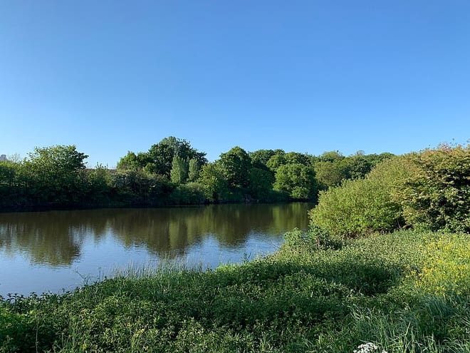
River TrentRiver · 0.1 mi (about 0.1 mi on foot)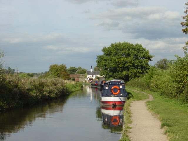 Trent and Mersey CanalCanal · 0.3 mi (about 0.3 to 0.4 mi on foot)
Also nearby
Walking distances are estimates from the straight-line distance and the type of ground, not a measured route. Check a map before you set off.
About Rugeley Trent Valley Rail Station
Rugeley Trent Valley is a railway station serving both the village of Colton and the town of Rugeley, in Staffordshire, England. It is one of two stations serving the town, with the other being Rugeley Town. It is situated on the eastern side of the town, near the Rugeley Trent Valley Trading Estate, and is located close to the River Trent. West Midlands Trains operates the station and all trains serving it.
Hills, trails and walks from the platform
Walking distances are estimates from the straight-line distance and the type of ground, not a measured route. Check a map before you set off.
| Stile Cop | 220m | 2.6 mi (about 3.5 to 4 mi on foot) |
| Upper Cliff | 232m | 3.2 mi (about 4 to 4.5 mi on foot) |
| Coley Hill | 128m | 3.2 mi (about 4 to 4.5 mi on foot) |
| Rawnsley Hills | 237m | 3.9 mi (about 5 to 5.5 mi on foot) |
| Castle Ring | 242m | 3.9 mi (about 5 to 5.5 mi on foot) |
No National Trails within 10 miles.
Route data © OpenStreetMap contributors, ODbL – coverage and route quality vary by area.
| Trent Valley Way ↗Regional | 193.5 mi | 0.0 mi |
| The Way for the Millennium ↗Regional | 38.2 mi | 0.3 mi |
| Staffordshire Way (Rushton Spencer - Cannock Chase) ↗Regional | 49.0 mi | 0.6 mi |
| E2 hiking trail Birmingham ↗National | 81.4 mi | 2.8 mi |
| Heart of England Way ↗Regional | 103.6 mi | 2.8 mi |