





Stoke-on-Trent Rail Station
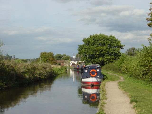
- Canal
- River
- Peaks nearby
- 30
- highest 289m
- Walking routes
- 20
- within 10 miles
What's on the doorstep
Trent and Mersey CanalCanal · 0.1 mi (about 0.1 mi on foot)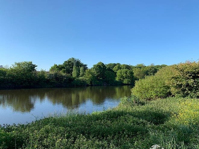 River TrentRiver · 0.2 mi (about 0.3 mi on foot)
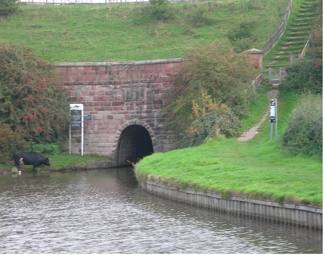 Caldon CanalCanal · 0.5 mi (about 0.6 to 0.7 mi on foot)
Walking distances are estimates from the straight-line distance and the type of ground, not a measured route. Check a map before you set off.
About Stoke-on-Trent Rail Station
Stoke-on-Trent, often known as Stoke, is a city and unitary authority area in Staffordshire, England. It had an estimated population of 259,965 in 2022, making it the largest settlement in Staffordshire and one of the largest cities of the Midlands. Stoke is surrounded by the towns of Alsager, Biddulph, Cheadle, Kidsgrove, Newcastle-under-Lyme and Stone, which form a conurbation around the city.
Hills, trails and walks from the platform
Walking distances are estimates from the straight-line distance and the type of ground, not a measured route. Check a map before you set off.
| Glebedale Park | 171m | 1.3 mi (about 1.5 to 2 mi on foot) |
| Cobridge Hill | 213m | 2.1 mi (about 2.5 to 3 mi on foot) |
| Sneyd Hill | 215m | 2.5 mi (about 3 to 3.5 mi on foot) |
| Park Hall Hill (old GR) | 250m | 3.1 mi (about 4 to 4.5 mi on foot) |
| Park Hall Hill | 252m | 3.3 mi (about 4.5 to 5 mi on foot) |
No National Trails within 10 miles.
Route data © OpenStreetMap contributors, ODbL – coverage and route quality vary by area.
| Kidsgrove to Stoke Ridgeway ↗Local | 9.2 mi | 0.0 mi |
| Two Saints Way ↗Regional | 93.8 mi | 0.1 mi |
| Trent Valley Way ↗Regional | 193.5 mi | 0.3 mi |
| Hanchurch Walk (Green) ↗Local | 3.6 mi | 3.3 mi |
| Newcastle Way ↗Regional | 25.7 mi | 3.8 mi |