





Woodlesford Rail Station
- Canal
- River
- Peaks nearby
- 9
- highest 91m
- Walking routes
- 18
- within 10 miles
What's on the doorstep
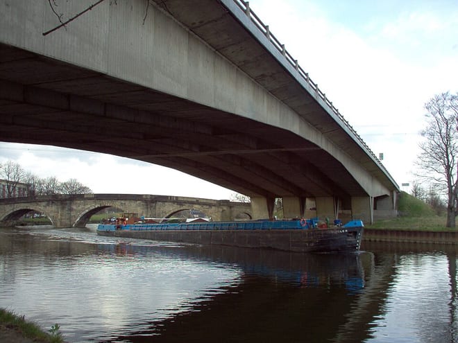
Aire and Calder NavigationCanal · 0.2 mi (about 0.2 mi on foot)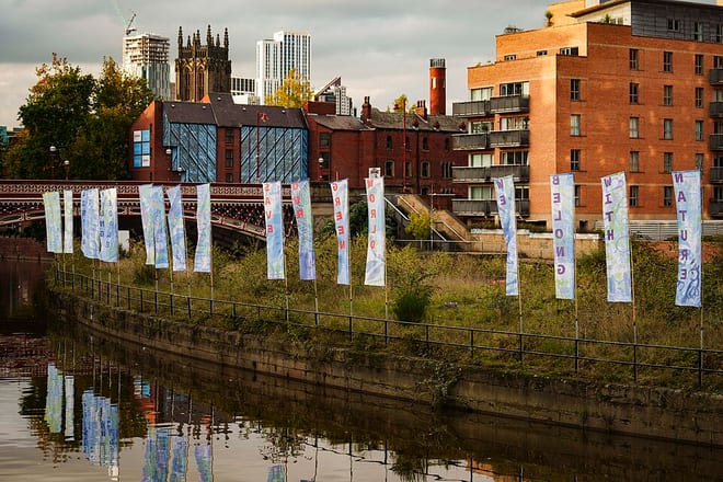 River AireRiver · 0.3 mi (about 0.3 mi on foot)
Walking distances are estimates from the straight-line distance and the type of ground, not a measured route. Check a map before you set off.
About Woodlesford Rail Station
Woodlesford is a suburban village in the City of Leeds, West Yorkshire, England, 6 miles (10 km) south-east of Leeds city centre. Formerly part of the Rothwell Urban District, it is now within the Rothwell ward of Leeds City Council. The village sits on the banks of the Aire and Calder Navigation and river system.
Source: Wikipedia, CC BY-SA.
Hills, trails and walks from the platform
Walking distances are estimates from the straight-line distance and the type of ground, not a measured route. Check a map before you set off.
| Garforth Cliff | 104m | 3.4 mi (about 4.5 to 5 mi on foot) |
| Red Hill | 75m | 5.2 mi (about 6.5 to 7.5 mi on foot) |
| Glasshoughton Colliery Tip | 62m | 5.2 mi (about 7 to 7.5 mi on foot) |
| Prince of Wales Colliery Tip | 82m | 6.4 mi (about 8.5 to 9.5 mi on foot) |
| Kings Mead | 86m | 6.8 mi (about 9 to 10 mi on foot) |
No National Trails within 10 miles.
Route data © OpenStreetMap contributors, ODbL – coverage and route quality vary by area.
| Trans-Pennine Trail (Wombwell to Leeds) ↗Regional | 30.0 mi | 0.1 mi |
| Leeds Country Way ↗Local | 62.6 mi | 0.3 mi |
| Reedbed Ramble ↗Local | 2.4 mi | 1.0 mi |
| Hillside Hike ↗Local | 1.9 mi | 1.1 mi |
| Bowers Bimble ↗Local | 0.9 mi | 1.8 mi |