





Whitley Bridge Rail Station
- Canal
- River
- Peaks nearby
- 11
- highest 94m
- Walking routes
- 8
- within 10 miles
What's on the doorstep
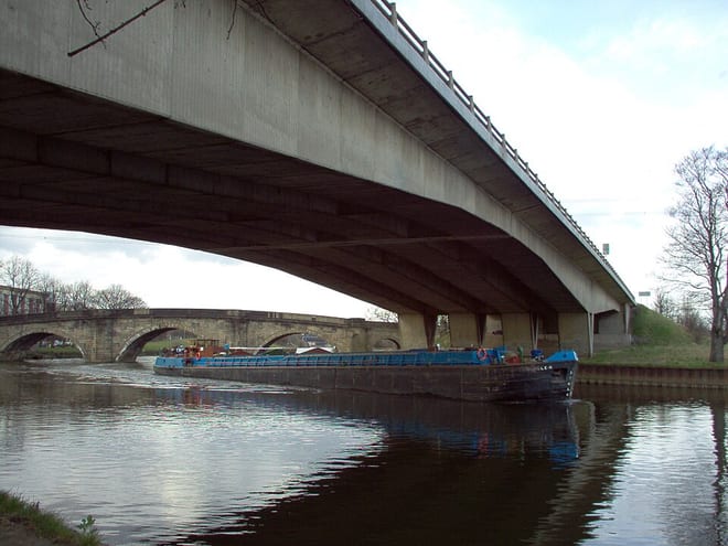
Aire and Calder NavigationCanal · 0.1 mi (about 0.1 mi on foot)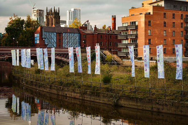 River AireRiver · 1.8 mi (about 2 to 2.5 mi on foot)
Walking distances are estimates from the straight-line distance and the type of ground, not a measured route. Check a map before you set off.
About Whitley Bridge Rail Station
Whitley Bridge railway station serves the villages of Eggborough and Whitley in North Yorkshire, England. It is located on the Pontefract Line and is 20 miles (32 km) east of Leeds. It was opened by the Lancashire and Yorkshire Railway on 1 April 1848, on their line between Wakefield Kirkgate and Goole via Knottingley.
Source: Wikipedia, CC BY-SA.
Hills, trails and walks from the platform
Walking distances are estimates from the straight-line distance and the type of ground, not a measured route. Check a map before you set off.
| Gale Common | 68m | 1.3 mi (about 1.5 to 2 mi on foot) |
| Hambleton Hough | 46m | 4.4 mi (about 5.5 to 6.5 mi on foot) |
| Brayton Barff | 52m | 5.1 mi (about 6.5 to 7.5 mi on foot) |
| Prince of Wales Colliery Tip | 82m | 6.5 mi (about 8.5 to 9.5 mi on foot) |
| Kings Mead | 86m | 7.2 mi (about 9.5 to 10.5 mi on foot) |
No National Trails within 10 miles.
Route data © OpenStreetMap contributors, ODbL – coverage and route quality vary by area.
| Trans-Pennine Trail (Wombwell to Selby) ↗Regional | 46.2 mi | 3.3 mi |
| Selby Horseshoe ↗Local | 1.1 mi | 4.2 mi |
| Wakefield Way ↗Regional | 77.1 mi | 5.0 mi |
| Trans-Pennine Trail (Selby to Hull) ↗Regional | 45.7 mi | 6.9 mi |
| Camino Ingles to Santiago ↗Regional | 27.7 mi | 7.1 mi |