





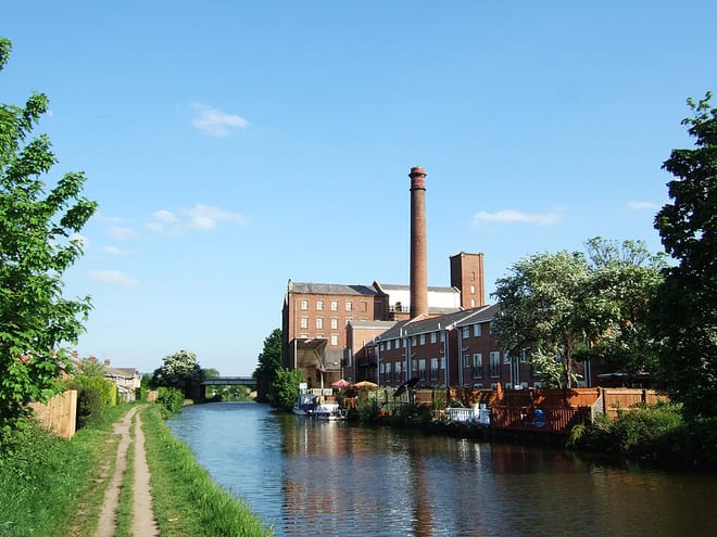
Crossflatts Rail Station
- Canal
- River
- National Nature Reserve
- Peaks nearby
- 30
- highest 459m
- Walking routes
- 22
- within 10 miles
What's on the doorstep
Leeds and Liverpool CanalCanal · 0.2 mi (about 0.2 mi on foot) River AireRiver · 0.2 mi (about 0.3 mi on foot)
Also nearby
Walking distances are estimates from the straight-line distance and the type of ground, not a measured route. Check a map before you set off.
About Crossflatts Rail Station
Crossflatts is a ribbon development in Airedale along the old route of the A650 road between Bingley and Keighley, in the Metropolitan Borough of Bradford, West Yorkshire, England. The opening of the Aire Valley Trunk road in 2004 has seen a reduction of 51% of traffic through the village.
Source: Wikipedia, CC BY-SA.
Hills, trails and walks from the platform
Walking distances are estimates from the straight-line distance and the type of ground, not a measured route. Check a map before you set off.
| Baildon Hill | 282m | 2.4 mi (about 3 to 3.5 mi on foot) |
| Lees Moor | 298m | 3.0 mi (about 4 to 4.5 mi on foot) |
| Rombalds Moor [Ilkley Moor]M | 403m | 3.2 mi (about 4 to 4.5 mi on foot) |
| Chellow Heights | 262m | 3.3 mi (about 4.5 to 5 mi on foot) |
| Harrop Edge | 306m | 3.5 mi (about 4.5 to 5 mi on foot) |
| Pennine Way ↗ | 270.6 mi | 6.9 mi |
| Pennine Bridleway ↗ | 206.0 mi | 9.7 mi |
Route data © OpenStreetMap contributors, ODbL – coverage and route quality vary by area.
| Welcome Way ↗Local | 22.6 mi | 0.1 mi |
| Airedale Way ↗Regional | 47.7 mi | 0.3 mi |
| Millennium Way Circular Walk 16 ↗Local | 0.9 mi | 0.7 mi |
| Bradford Millennium Way ↗Local | 47.3 mi | 1.1 mi |
| Calder Aire Link ↗Local | 19.7 mi | 1.2 mi |