






Kintbury Rail Station
- National Landscape
- Canal
- River
- Special Area of Conservation
- Peaks nearby
- 17
- highest 297m
- Walking routes
- 15
- within 10 miles
What's on the doorstep
North Wessex Downs National LandscapeNational Landscape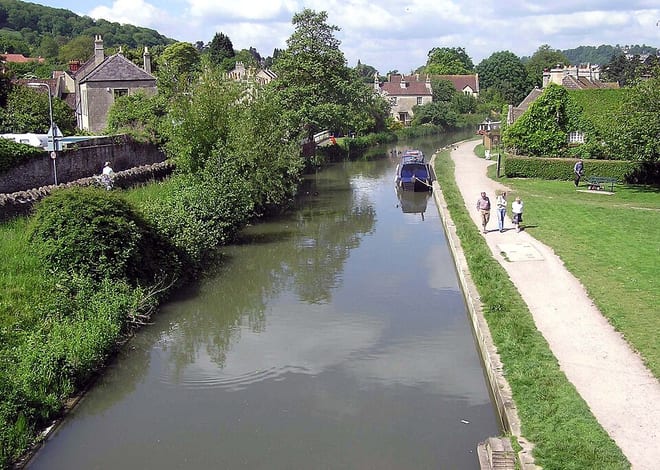 Kennet and Avon CanalCanal
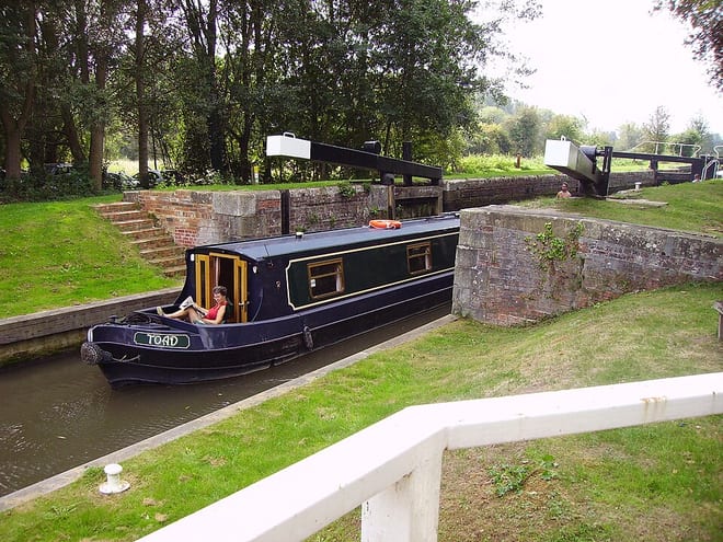 River KennetRiver · 0.2 mi (about 0.3 mi on foot)
Also nearby
Walking distances are estimates from the straight-line distance and the type of ground, not a measured route. Check a map before you set off.
About Kintbury Rail Station
Kintbury is a village and civil parish in the West Berkshire district, Berkshire, England, between the towns of Newbury and Hungerford. The village has a convenient railway to Paddington and Reading, proximity to other transport and local cultural destinations, including Roman and Norman sites, and forms part of a very large Area of Outstanding Natural Beauty, the North Wessex Downs which extends from the River Thames at Streatley to West Wiltshire. The parish includes the hamlets of Clapton, Elcot and Winding Wood.
Hills, trails and walks from the platform
Walking distances are estimates from the straight-line distance and the type of ground, not a measured route. Check a map before you set off.
| Walbury Hill (boundary) | 293m | 3.4 mi (about 4.5 to 5 mi on foot) |
| Walbury HillM | 297m | 3.6 mi (about 4.5 to 5 mi on foot) |
| Hoar Hill | 141m | 3.8 mi (about 5 to 5.5 mi on foot) |
| Pilot Hill | 286m | 4.4 mi (about 5.5 to 6.5 mi on foot) |
| Bussock Hill | 150m | 5.7 mi (about 7.5 to 8.5 mi on foot) |
No National Trails within 10 miles.
Route data © OpenStreetMap contributors, ODbL – coverage and route quality vary by area.
| Kennet and Avon Canal Trail ↗Regional | 96.3 mi | 0.0 mi |
| Lambourn Valley Way ↗Local | 21.4 mi | 3.2 mi |
| The Roman Way ↗Regional | 172.5 mi | 3.2 mi |
| Wayfarers Walk ↗Regional | 71.1 mi | 3.3 mi |
| Pewsey Vale Circular Walk ↗Regional | 82.2 mi | 3.3 mi |