





Macclesfield Rail Station
- River
- Disused railway
- Canal
- National Park
- Lake or reservoir
- Peaks nearby
- 30
- highest 559m
- Walking routes
- 20
- within 10 miles
What's on the doorstep
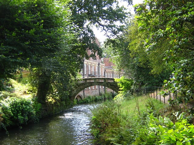
River BollinRiver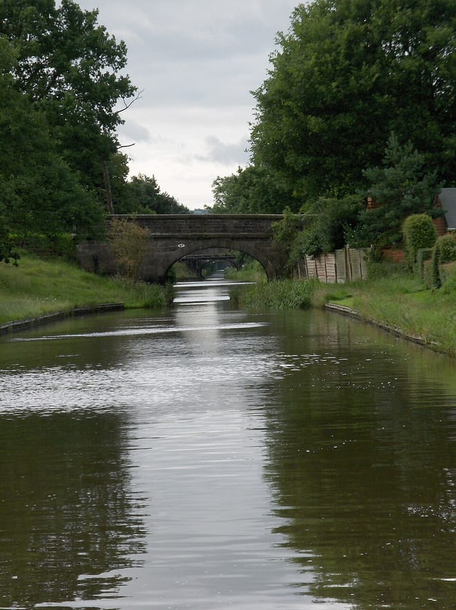 Macclesfield CanalCanal · 0.3 mi (about 0.4 to 0.5 mi on foot)
 Peak DistrictNational Park · 1.8 mi (about 2 to 2.5 mi on foot)
Also nearby
Walking distances are estimates from the straight-line distance and the type of ground, not a measured route. Check a map before you set off.
About Macclesfield Rail Station
Macclesfield is a market town and civil parish in the unitary authority of Cheshire East, Cheshire, England, on the River Bollin and the edge of the Cheshire Plain, with Macclesfield Forest to its east, 16 miles (26 km) south of Manchester and 38 miles (61 km) east of Chester.
Source: Wikipedia, CC BY-SA.
Hills, trails and walks from the platform
Walking distances are estimates from the straight-line distance and the type of ground, not a measured route. Check a map before you set off.
| Higher Blakelow | 294m | 1.2 mi (about 1.5 mi on foot) |
| Tegg's Nose | 382m | 1.9 mi (about 2.5 mi on foot) |
| Kerridge Hill | 313m | 2.0 mi (about 2.5 to 3 mi on foot) |
| Brink | 395m | 2.1 mi (about 2.5 to 3 mi on foot) |
| Ely Brow | 403m | 2.6 mi (about 3.5 to 4 mi on foot) |
No National Trails within 10 miles.
Route data © OpenStreetMap contributors, ODbL – coverage and route quality vary by area.
| Cheshire Ring Canal Walk ↗ | 95.3 mi | 0.3 mi |
| Bollin Valley Way ↗Regional | 23.1 mi | 0.7 mi |
| Tegg’s Nose Country Park Trail ↗Local | 2.9 mi | 1.7 mi |
| Gritstone Trail (Disley - River Dane) ↗Regional | 20.5 mi | 1.7 mi |
| A Walk to the Forest ↗Local | 5.2 mi | 1.8 mi |