





New Mills Central Rail Station
- River
- Canal
- National Park
- National Trail
- Disused railway
- Lake or reservoir
- Peaks nearby
- 30
- highest 99m
- Walking routes
- 22
- within 10 miles
What's on the doorstep
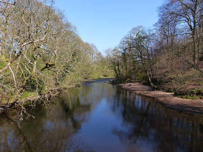
River GoytRiver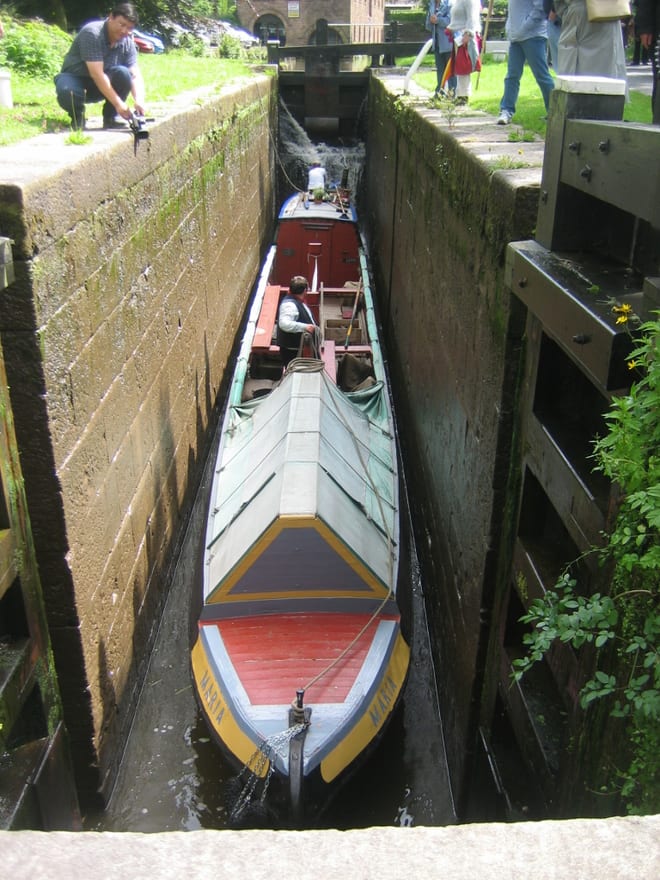 Peak Forest CanalCanal · 0.3 mi (about 0.3 to 0.4 mi on foot)
 Peak DistrictNational Park · 1.5 mi (about 2 mi on foot)
 Pennine BridlewayNational Trail · 1.7 mi (about 2 to 2.5 mi on foot)
Also nearby
Walking distances are estimates from the straight-line distance and the type of ground, not a measured route. Check a map before you set off.
About New Mills Central Rail Station
New Mills Central railway station serves the town of New Mills, in Derbyshire, England. It lies on the Hope Valley Line between Manchester Piccadilly and Sheffield, 12+3⁄4 miles (20.5 km) east of the former. The town is also served by New Mills Newtown on the Buxton Line.
Source: Wikipedia, CC BY-SA.
Hills, trails and walks from the platform
Walking distances are estimates from the straight-line distance and the type of ground, not a measured route. Check a map before you set off.
| Mellor Moor | 328m | 1.4 mi (about 2 mi on foot) |
| Disley Hill | 240m | 1.8 mi (about 2.5 mi on foot) |
| Whaley Moor [Black Hill]E | 411m | 2.0 mi (about 2.5 to 3 mi on foot) |
| Marpleridge | 210m | 2.4 mi (about 3 to 3.5 mi on foot) |
| Lantern PikeE | 373m | 2.5 mi (about 3.5 mi on foot) |
| Pennine Bridleway ↗ | 206.0 mi | 1.7 mi |
| Pennine Way ↗ | 270.6 mi | 5.1 mi |
Route data © OpenStreetMap contributors, ODbL – coverage and route quality vary by area.
| The Steel Cotton Rail Trail ↗Local | 5.0 mi | 0.0 mi |
| Goyt Way ↗Local | 9.9 mi | 0.0 mi |
| Midshires Way ↗Regional | 226.7 mi | 0.0 mi |
| GM Ringway Stage 6 ↗Regional | 8.8 mi | 1.0 mi |
| E2 connector hiking trail ↗National | 0.9 mi | 1.2 mi |