





Saltaire Rail Station
- Canal
- River
- National Nature Reserve
- Peaks nearby
- 26
- highest 451m
- Walking routes
- 21
- within 10 miles
What's on the doorstep
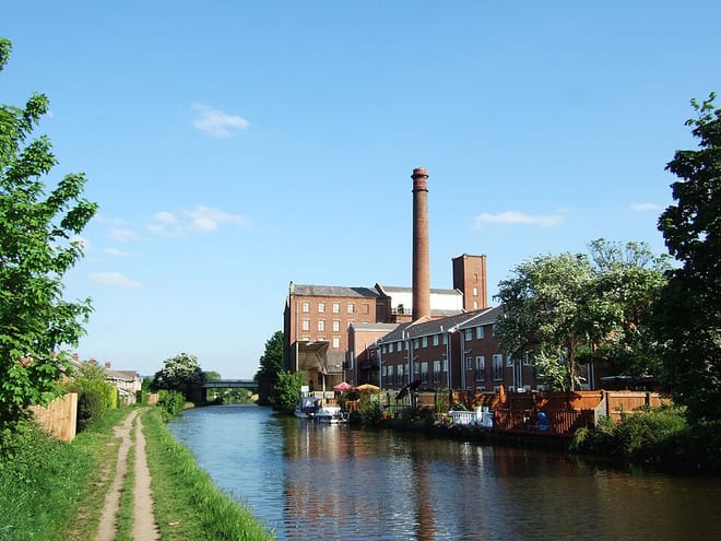
Leeds and Liverpool CanalCanal · 0.1 mi (about 0.1 mi on foot)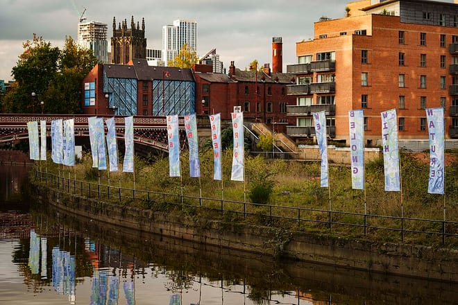 River AireRiver · 0.1 mi (about 0.1 mi on foot)
Also nearby
Walking distances are estimates from the straight-line distance and the type of ground, not a measured route. Check a map before you set off.
About Saltaire Rail Station
Saltaire is a Victorian model village near Shipley, West Yorkshire, England, south of the River Aire, Salts Mill was built between the railway and the Leeds and Liverpool Canal. The mill and houses were built for Titus Salt between 1851 and 1871 to allow his workers to live in better conditions than the slums of Bradford. The mill ceased production in 1986 and was converted into a multifunctional location with an art gallery, restaurants, and the headquarters of a technology company. The model village is a UNESCO World Heritage Site and on the European Route of Industrial Heritage.
Hills, trails and walks from the platform
Walking distances are estimates from the straight-line distance and the type of ground, not a measured route. Check a map before you set off.
| Baildon Hill | 282m | 1.3 mi (about 1.5 to 2 mi on foot) |
| Idle Hill | 224m | 1.7 mi (about 2 to 2.5 mi on foot) |
| Chellow Heights | 262m | 2.3 mi (about 3 to 3.5 mi on foot) |
| Harrop Edge | 306m | 3.4 mi (about 4.5 to 5 mi on foot) |
| Burley Moor | 342m | 4.0 mi (about 5.5 to 6 mi on foot) |
| Pennine Way ↗ | 270.6 mi | 8.8 mi |
Route data © OpenStreetMap contributors, ODbL – coverage and route quality vary by area.
| Dales High Way ↗Regional | 101.4 mi | 0.0 mi |
| Dales Way Link ↗Regional | 11.8 mi | 0.1 mi |
| Airedale Way ↗Regional | 47.7 mi | 0.1 mi |
| Welcome Way ↗Local | 22.6 mi | 0.5 mi |
| Yorkshire Heritage Way ↗ | 4.0 mi | 0.5 mi |