





Skipton Rail Station
- Canal
- River
- National Park
- Disused railway
- Peaks nearby
- 30
- highest 508m
- Walking routes
- 22
- within 10 miles
What's on the doorstep
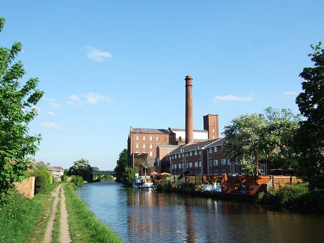
Leeds and Liverpool CanalCanal · 0.1 mi (about 0.1 mi on foot) River AireRiver · 0.7 mi (about 0.9 to 1 mi on foot)
 Yorkshire DalesNational Park · 1.0 mi (about 1 to 1.5 mi on foot)
Also nearby
Walking distances are estimates from the straight-line distance and the type of ground, not a measured route. Check a map before you set off.
About Skipton Rail Station
Skipton is a market town and civil parish in the modern ceremonial county of North Yorkshire, England. Historically located in the East Division of Staincliffe Wapentake of the West Riding of Yorkshire, Skipton lies generally south of the Yorkshire Dales and is situated on both the River Aire and the Leeds and Liverpool Canal. The town is located 27 miles (43 km) north-west of Leeds and 38 miles (61 km) west of York. In the 2021 Census, the population was recorded as being 15,042. The town has been listed as one of the best and happiest places to live in the UK.
Hills, trails and walks from the platform
Walking distances are estimates from the straight-line distance and the type of ground, not a measured route. Check a map before you set off.
| Skipton Moor | 373m | 1.9 mi (about 2.5 mi on foot) |
| Haw Park | 244m | 2.1 mi (about 3 mi on foot) |
| Sharp HawM | 357m | 2.8 mi (about 3.5 to 4 mi on foot) |
| Rough Haw | 339m | 3.0 mi (about 4 to 4.5 mi on foot) |
| Gib | 275m | 3.4 mi (about 4.5 to 5 mi on foot) |
| Pennine Way ↗ | 270.6 mi | 3.2 mi |
| Pennine Bridleway ↗ | 206.0 mi | 5.7 mi |
Route data © OpenStreetMap contributors, ODbL – coverage and route quality vary by area.
| Airedale Way ↗Regional | 47.7 mi | 0.1 mi |
| Dales High Way ↗Regional | 101.4 mi | 0.4 mi |
| Lady Anne's Way ↗Regional | 96.6 mi | 0.5 mi |
| Pennine Way (Ickornshaw to Malham) ↗National | 17.5 mi | 3.2 mi |
| Bradford Millennium Way ↗Local | 47.3 mi | 3.6 mi |