





Thatcham Rail Station
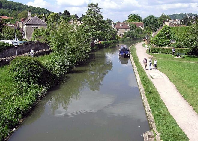
- Canal
- River
- Special Area of Conservation
- Peaks nearby
- 17
- highest 293m
- Walking routes
- 22
- within 10 miles
What's on the doorstep
Walking distances are estimates from the straight-line distance and the type of ground, not a measured route. Check a map before you set off.
About Thatcham Rail Station
Thatcham is a market town and civil parish in West Berkshire, England. It is situated in the valley of the River Kennet 3 miles (4.8 km) east of Newbury, 14 miles (23 km) west of Reading and 54 miles (87 km) west of London. The town has a long history dating back to prehistoric times, a claimant to the title of oldest continuously inhabited place in Great Britain. As of 2021, it had a population of 25,464, though it is part of a built-up area comprising itself and neighbouring Newbury of over 70,000 residents. It is on the route of the A4 Bath Road, the historic main road between London and Bristol.
Hills, trails and walks from the platform
Walking distances are estimates from the straight-line distance and the type of ground, not a measured route. Check a map before you set off.
| Grimsbury Castle | 160m | 3.8 mi (about 5 to 5.5 mi on foot) |
| Snelsmore East Common | 143m | 4.1 mi (about 5.5 to 6 mi on foot) |
| Caveley Hill | 161m | 5.2 mi (about 7 to 7.5 mi on foot) |
| Nuthanger Hill | 169m | 5.3 mi (about 7 to 7.5 mi on foot) |
| Bussock Hill | 150m | 5.4 mi (about 7 to 8 mi on foot) |
| The Ridgeway ↗ | 86.3 mi | 9.3 mi |
| Thames Path ↗ | 213.5 mi | 9.3 mi |
Route data © OpenStreetMap contributors, ODbL – coverage and route quality vary by area.
| The Roman Way ↗Regional | 172.5 mi | 0.0 mi |
| Kennet and Avon Canal Trail ↗Regional | 96.3 mi | 0.0 mi |
| Yellow Route ↗Local | 4.3 mi | 1.3 mi |
| Lambourn Valley Way ↗Local | 21.4 mi | 3.5 mi |
| Wasing Way ↗Local | 1.2 mi | 3.9 mi |