





West Byfleet Rail Station
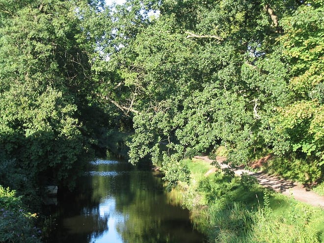
- Canal
- Peaks nearby
- 12
- highest 96m
- Walking routes
- 22
- within 10 miles
What's on the doorstep
Walking distances are estimates from the straight-line distance and the type of ground, not a measured route. Check a map before you set off.
About West Byfleet Rail Station
West Byfleet is a village in Surrey which grew up around its relatively minor stop on the London & South Western Railway: the station, originally Byfleet and Woodham, opened in 1887. More than 1 mile (1.6 km) from the medieval village of Byfleet, the initial concentration of a new development soon established its own economy apart from that of a dependent London commuter village and spread in most directions to its borders including to the border of the old settlement, divided by the shielded M25 motorway today. The first place of worship was dedicated in 1912, the parish of West Byfleet associated with it was established in 1917. The village is bounded to the north by the Basingstoke Canal and to the east by the M25 and the Wey Navigation Canal. Forming part of the contiguous development centred on London and its stockbroker belt just outside the M25 motorway, it is 18 miles from London Heathrow and equidistant between the business parks of Woking and Brooklands. In local government it forms a ward on the same basis as its parish in the Borough of Woking.
Hills, trails and walks from the platform
Walking distances are estimates from the straight-line distance and the type of ground, not a measured route. Check a map before you set off.
| St George's Hill | 79m | 2.9 mi (about 4 mi on foot) |
| Fox Hills | 74m | 3.1 mi (about 4 to 4.5 mi on foot) |
| St Ann's Hill | 69m | 4.2 mi (about 5.5 to 6 mi on foot) |
| Ribs Down | 96m | 6.4 mi (about 8.5 to 9 mi on foot) |
| Shrubs Hill | 80m | 6.4 mi (about 8.5 to 9.5 mi on foot) |
| Thames Path ↗ | 213.5 mi | 3.3 mi |
| North Downs Way ↗ | 158.9 mi | 7.4 mi |
Route data © OpenStreetMap contributors, ODbL – coverage and route quality vary by area.
| New Haw Lock to Pyrford Lock Walk, River Wey Navigations ↗Local | 7.0 mi | 0.2 mi |
| Basingstoke Canal ↗Regional | 37.0 mi | 0.2 mi |
| European walking route E2 west, UK, South East England ↗International | 136.0 mi | 0.8 mi |
| Canons and Cornmills ↗Local | 5.2 mi | 1.3 mi |
| Weybridge to New Haw Lock Walk, River Wey Navigations ↗Local | 5.5 mi | 1.5 mi |