





Woking Rail Station
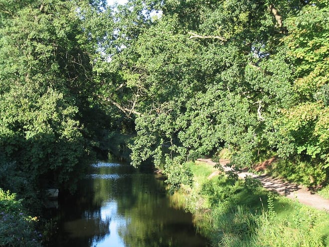
- Canal
- Peaks nearby
- 14
- highest 96m
- Walking routes
- 22
- within 10 miles
What's on the doorstep
Walking distances are estimates from the straight-line distance and the type of ground, not a measured route. Check a map before you set off.
About Woking Rail Station
Woking is a town and borough in north-west Surrey, England, around 23 mi (36 km) from central London. It appears in Domesday Book as Wochinges, and its name probably derives from that of a Saxon landowner. The earliest evidence of human activity is from the Palaeolithic, but the low fertility of the sandy local soils meant that the area was the least populated part of the county in 1086. Between the mid-17th and mid-19th centuries, new transport links were constructed, including the Wey Navigation, Basingstoke Canal and London to Southampton railway line. The modern town was established in the mid-1860s, as the London Necropolis Company began to sell surplus land surrounding the railway station for development.
Hills, trails and walks from the platform
Walking distances are estimates from the straight-line distance and the type of ground, not a measured route. Check a map before you set off.
| Fox Hills | 74m | 3.9 mi (about 5 to 5.5 mi on foot) |
| Ribs Down | 96m | 5.3 mi (about 7 to 7.5 mi on foot) |
| St George's Hill | 79m | 5.5 mi (about 7 to 8 mi on foot) |
| St Ann's Hill | 69m | 5.7 mi (about 7.5 to 8.5 mi on foot) |
| Shrubs Hill | 80m | 6.3 mi (about 8 to 9 mi on foot) |
| Thames Path ↗ | 213.5 mi | 5.7 mi |
| North Downs Way ↗ | 158.9 mi | 6.2 mi |
Route data © OpenStreetMap contributors, ODbL – coverage and route quality vary by area.