






Chinley Rail Station
- National Park
- Canal
- River
- National Trail
- Lake or reservoir
- Peaks nearby
- 30
- highest 636m
- Walking routes
- 22
- within 10 miles
What's on the doorstep
Peak DistrictNational Park · 0.1 mi (about 0.1 mi on foot)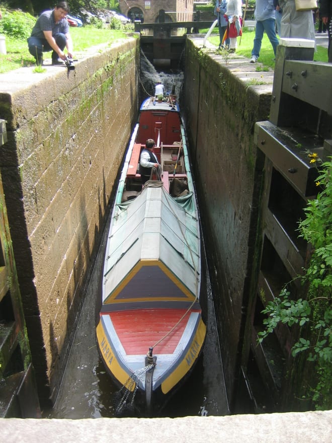 Peak Forest CanalCanal · 1.0 mi (about 1 to 1.5 mi on foot)
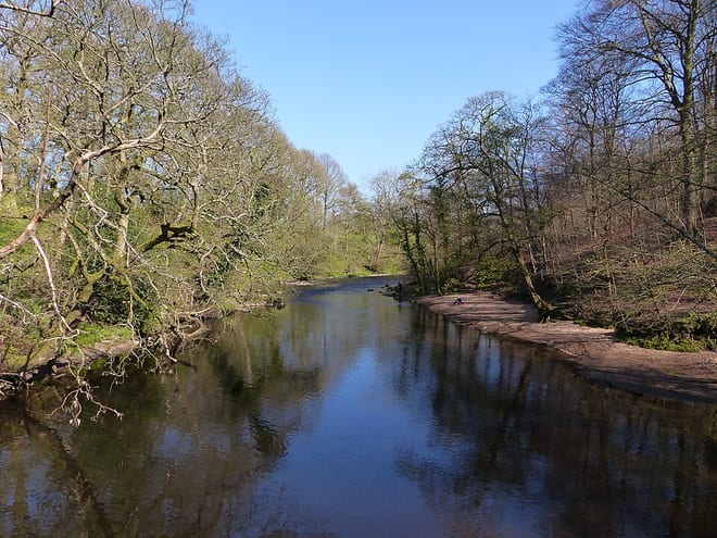 River GoytRiver · 1.4 mi (about 1.5 to 2 mi on foot)
 Pennine BridlewayNational Trail · 1.7 mi (about 2 to 2.5 mi on foot)
Also nearby
Walking distances are estimates from the straight-line distance and the type of ground, not a measured route. Check a map before you set off.
About Chinley Rail Station
Chinley is a rural village in the High Peak Borough of Derbyshire, England, with a population of 2,796 at the 2011 Census. Most of the civil parish is within the Peak District National Park. Historically, before the coming of the railway, the area was economically dominated by agriculture. Nowadays most inhabitants commute out of the village to work; accessible centres of work include Stockport, Sheffield and Manchester.
Hills, trails and walks from the platform
Walking distances are estimates from the straight-line distance and the type of ground, not a measured route. Check a map before you set off.
| Chinley Churn (old GR) | 452m | 0.7 mi (about 0.9 to 1 mi on foot) |
| Eccles PikeE | 370m | 0.9 mi (about 1 to 1.5 mi on foot) |
| Chinley ChurnE | 457m | 1.1 mi (about 1.5 mi on foot) |
| Mount FamineE | 473m | 1.8 mi (about 2.5 mi on foot) |
| South HeadE | 494m | 1.9 mi (about 2.5 mi on foot) |
| Pennine Bridleway ↗ | 206.0 mi | 1.7 mi |
| Pennine Way ↗ | 270.6 mi | 3.4 mi |
Route data © OpenStreetMap contributors, ODbL – coverage and route quality vary by area.
| The Steel Cotton Rail Trail ↗Local | 5.0 mi | 0.0 mi |
| Peak Forest Tramway Trail ↗Local | 2.2 mi | 0.3 mi |
| Broken Banks ↗ | 0.2 mi | 0.8 mi |
| Goyt Way ↗Local | 9.9 mi | 1.6 mi |
| Midshires Way ↗Regional | 226.7 mi | 1.6 mi |