





Disley Rail Station
- Canal
- National Park
- River
- Disused railway
- Lake or reservoir
- Peaks nearby
- 30
- highest 99m
- Walking routes
- 22
- within 10 miles
What's on the doorstep
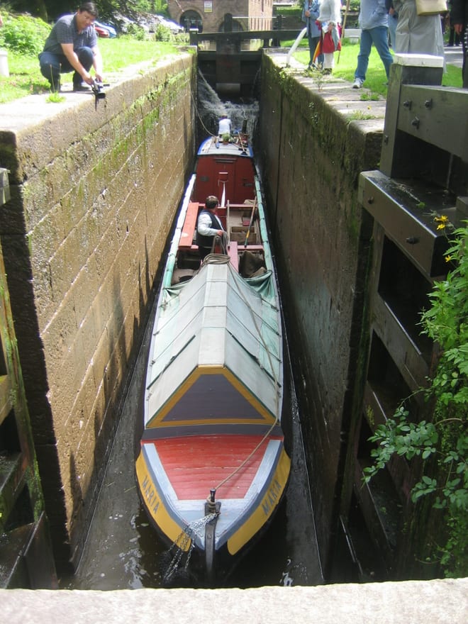
Peak Forest CanalCanal · 0.4 mi (about 0.5 to 0.6 mi on foot) Peak DistrictNational Park · 0.5 mi (about 0.6 to 0.7 mi on foot)
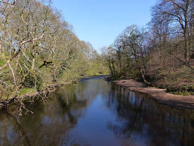 River GoytRiver · 0.7 mi (about 0.8 to 0.9 mi on foot)
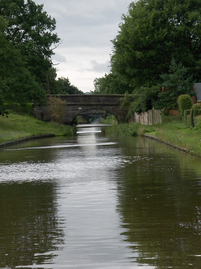 Macclesfield CanalCanal · 1.3 mi (about 1.5 mi on foot)
Also nearby
Walking distances are estimates from the straight-line distance and the type of ground, not a measured route. Check a map before you set off.
About Disley Rail Station
Disley is a village and civil parish in Cheshire, England. It is located on the edge of the Peak District in the Goyt Valley, south of Stockport and close to the county boundary with Derbyshire at New Mills. The population at the 2011 Census was 4,294. To the north, the River Goyt and the Peak Forest Canal, which opened in 1800, pass along the edge of the village. Today, it is a commuter town, retaining a semi-rural character.
Hills, trails and walks from the platform
Walking distances are estimates from the straight-line distance and the type of ground, not a measured route. Check a map before you set off.
| Disley Hill | 240m | 0.5 mi (about 0.6 to 0.7 mi on foot) |
| Marpleridge | 210m | 1.6 mi (about 2 to 2.5 mi on foot) |
| Whaley Moor [Black Hill]E | 411m | 1.9 mi (about 2.5 mi on foot) |
| Mellor Moor | 328m | 1.9 mi (about 2.5 mi on foot) |
| Sponds HillE | 413m | 2.9 mi (about 4 mi on foot) |
| Pennine Bridleway ↗ | 206.0 mi | 3.3 mi |
| Pennine Way ↗ | 270.6 mi | 6.6 mi |
Route data © OpenStreetMap contributors, ODbL – coverage and route quality vary by area.
| North Cheshire Way ↗Regional | 72.7 mi | 0.0 mi |
| A Walk from Disley Train Station to Lyme ↗Local | 0.8 mi | 0.0 mi |
| E2 connector hiking trail ↗National | 0.9 mi | 0.1 mi |
| Gritstone Trail (Disley - River Dane) ↗Regional | 20.5 mi | 0.1 mi |
| GM Ringway Stage 5 ↗Regional | 8.3 mi | 0.4 mi |