





Furness Vale Rail Station
- Canal
- River
- National Park
- Lake or reservoir
- Disused railway
- Peaks nearby
- 30
- highest 99m
- Walking routes
- 22
- within 10 miles
What's on the doorstep
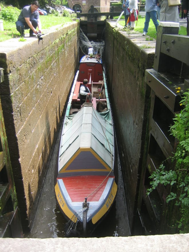
Peak Forest CanalCanal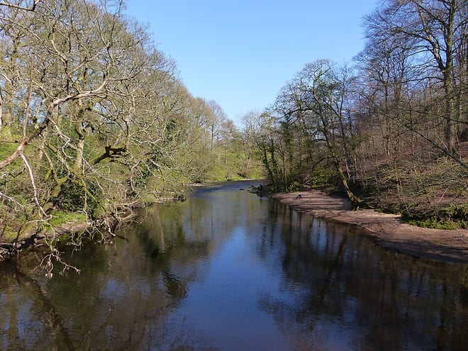 River GoytRiver · 0.1 mi (about 0.1 mi on foot)
 Peak DistrictNational Park · 1.0 mi (about 1 to 1.5 mi on foot)
Also nearby
Walking distances are estimates from the straight-line distance and the type of ground, not a measured route. Check a map before you set off.
About Furness Vale Rail Station
Furness Vale is a village in the High Peak district of Derbyshire, England, between New Mills and Whaley Bridge. It is bisected by the A6 road and the Peak Forest Canal, whose towpath is followed by the Goyt Way, part of the 230-mile (370 km) Midshires Way. It comes under the administration of Whaley Bridge town council and has a population of approximately 1,500.
Source: Wikipedia, CC BY-SA.
Hills, trails and walks from the platform
Walking distances are estimates from the straight-line distance and the type of ground, not a measured route. Check a map before you set off.
| Whaley Moor [Black Hill]E | 411m | 1.4 mi (about 2 mi on foot) |
| Chinley Churn (old GR) | 452m | 1.7 mi (about 2 to 2.5 mi on foot) |
| Chinley ChurnE | 457m | 1.8 mi (about 2.5 mi on foot) |
| Eccles PikeE | 370m | 2.2 mi (about 3 mi on foot) |
| Mellor Moor | 328m | 2.7 mi (about 3.5 to 4 mi on foot) |
| Pennine Bridleway ↗ | 206.0 mi | 2.2 mi |
| Pennine Way ↗ | 270.6 mi | 4.8 mi |
Route data © OpenStreetMap contributors, ODbL – coverage and route quality vary by area.
| Midshires Way ↗Regional | 226.7 mi | 0.0 mi |
| Goyt Way ↗Local | 9.9 mi | 0.0 mi |
| The Steel Cotton Rail Trail ↗Local | 5.0 mi | 0.0 mi |
| Peak Forest Tramway Trail ↗Local | 2.2 mi | 1.3 mi |
| Peak District Boundary Walk Stage 19 ↗Regional | 9.8 mi | 1.4 mi |